Fitxer:Karte Region Hotzenwald.png

Mida d'aquesta previsualització: 800 × 475 píxels. Altres resolucions: 320 × 190 píxels | 640 × 380 píxels | 1.024 × 608 píxels | 1.515 × 900 píxels.
Fitxer original (1.515 × 900 píxels, mida del fitxer: 1,34 Mo, tipus MIME: image/png)
| Aquest fitxer i la informació mostrada a continuació provenen del dipòsit multimèdia lliure Wikimedia Commons. |
Resum
| Descripció | |
| Data | |
| Font |
Treball propi Map created using: and the following maps as reference: as well as information collected throughout Wikipedia and some look into Google Earth |
| Autor | Thoroe |
| Permís (Com reutilitzar aquest fitxer) |
Map data (c) OpenStreetMap (and) contributors, CC-BY-SA |

|
This map has been made or improved in the German Kartenwerkstatt (Map Lab). You can propose maps to improve as well.
|
Llicència
Aquest fitxer està publicat sota la llicència de Creative Commons Reconeixement i Compartir Igual 2.0 Genèrica.
Reconeixement: Thomas Römer/OpenStreetMap data
- Sou lliure de:
- compartir – copiar, distribuir i comunicar públicament l'obra
- adaptar – fer-ne obres derivades
- Amb les condicions següents:
- reconeixement – Heu de donar la informació adequada sobre l'autor, proporcionar un enllaç a la llicència i indicar si s'han realitzat canvis. Podeu fer-ho amb qualsevol mitjà raonable, però de cap manera no suggereixi que l'autor us dóna suport o aprova l'ús que en feu.
- compartir igual – Si modifiqueu, transformeu, o generareu amb el material, haureu de distribuir les vostres contribucions sota una llicència similar o una de compatible com l'original
Historial del fitxer
Cliqueu una data/hora per veure el fitxer tal com era aleshores.
| Data/hora | Miniatura | Dimensions | Usuari/a | Comentari | |
|---|---|---|---|---|---|
| actual | 15:11, 22 març 2013 | | 1.515 × 900 (1,34 Mo) | Thoroe | Schlücht/Schwarza korrigiert, Mettma ergänzt |
| 17:40, 23 ago 2011 |  | 1.236 × 735 (1,28 Mo) | Thoroe | Lauchringen statt Lauchingen | |
| 12:53, 5 ago 2010 |  | 1.235 × 734 (1,09 Mo) | Thoroe | +Ibach +Dachsberg | |
| 22:28, 4 ago 2010 |  | 1.235 × 734 (1,09 Mo) | Thoroe | Added some mountains | |
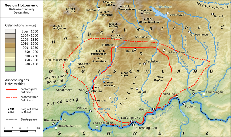
| 19:13, 4 ago 2010 |  | 1.235 × 734 (1,08 Mo) | Thoroe | {{Information |Description={{en|1=Map of the Hotzenwald region in southern Black Forest, Germany}} {{de|1=Karte der Region Hotzenwald im südlichen Schwarzwald} |
Ús del fitxer
La pàgina següent utilitza aquest fitxer:
Ús global del fitxer
Utilització d'aquest fitxer en altres wikis:
- Utilització a de.wikipedia.org
- Utilització a en.wikipedia.org
- Utilització a www.wikidata.org