Fitxer:Minamiashigara city center area Aerial photograph.1988.jpg

Mida d'aquesta previsualització: 800 × 576 píxels. Altres resolucions: 320 × 231 píxels | 640 × 461 píxels | 1.024 × 738 píxels | 1.280 × 922 píxels | 2.560 × 1.844 píxels | 4.503 × 3.244 píxels.
Fitxer original (4.503 × 3.244 píxels, mida del fitxer: 11,96 Mo, tipus MIME: image/jpeg)
| Aquest fitxer i la informació mostrada a continuació provenen del dipòsit multimèdia lliure Wikimedia Commons. |
Resum
| Descripció |
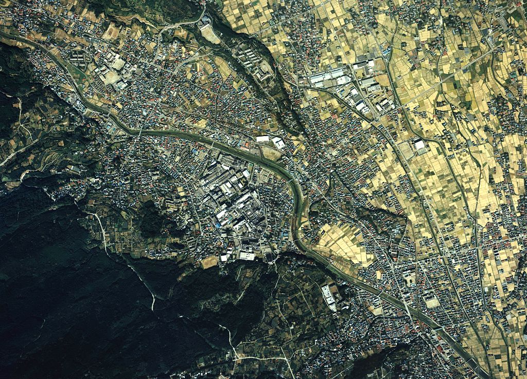
English: Minamiashigara city center area Aerial photograph.1988
日本語: 南足柄市(神奈川県)中心部周辺の空中写真。ckt-88-3_c22の12,13、合計2枚を合成作成。 |
| Data | |
| Font | 国土情報ウェブマッピングシステム |
| Autor | 国土交通省 |
Llicència

|
El titular dels drets d'autor d'aquest arxiu, the Ministry of Land, Infrastructure, Transport and Tourism of Japan, permet que qualsevol pugui usar-lo per a qualsevol propòsit, sempre que el titular dels drets d'autor sigui reconegut correctament. La redistribució, les obres derivades, l'ús comercial, i qualsevol altre ús està permès. |
Reconeixement:
Copyright © National Land Image Information (Color Aerial Photographs), Ministry of Land, Infrastructure, Transport and Tourism
|
 |
This image is copyrighted by the Ministry of Land, Infrastructure, Transport and Tourism of Japan. For terms of use, see the stipulation to use of National Land Information (in Japanese) and message from MLIT (in Japanese and English). When you display this image on an article, include the following phrase in the description: "Made based on National Land Image Information (Color Aerial Photographs), Ministry of Land, Infrastructure, Transport and Tourism".
|
Historial del fitxer
Cliqueu una data/hora per veure el fitxer tal com era aleshores.
| Data/hora | Miniatura | Dimensions | Usuari/a | Comentari | |
|---|---|---|---|---|---|
| actual | 04:52, 4 gen 2014 | | 4.503 × 3.244 (11,96 Mo) | さかおり | {{Information |Description ={{en|1=Minamiashigara city center area Aerial photograph.1988}} {{ja|1=南足柄市(神奈川県)中心部周辺の空中写真。ckt-88-3_c22の12,13、合計2枚を合成作成。}} |Source =国土情報ウ... |
Ús del fitxer
La pàgina següent utilitza aquest fitxer:
Ús global del fitxer
Utilització d'aquest fitxer en altres wikis:
- Utilització a ar.wikipedia.org
- Utilització a be.wikipedia.org
- Utilització a ceb.wikipedia.org
- Utilització a ce.wikipedia.org
- Utilització a de.wikivoyage.org
- Utilització a fi.wikipedia.org
- Utilització a gl.wikipedia.org
- Utilització a it.wikipedia.org
- Utilització a ja.wikipedia.org
- Utilització a mzn.wikipedia.org
- Utilització a pt.wikipedia.org
- Utilització a ro.wikipedia.org
- Utilització a sr.wikipedia.org
- Utilització a tt.wikipedia.org
- Utilització a vi.wikipedia.org
- Utilització a www.wikidata.org