Fitxer:Relief Map of Turkmenistan.png
Mida d'aquesta previsualització: 800 × 568 píxels. Altres resolucions: 320 × 227 píxels | 640 × 454 píxels | 1.024 × 727 píxels | 1.237 × 878 píxels.
Fitxer original (1.237 × 878 píxels, mida del fitxer: 1,07 Mo, tipus MIME: image/png)
| Aquest fitxer i la informació mostrada a continuació provenen del dipòsit multimèdia lliure Wikimedia Commons. |

|
Aquesta imatge (de tipus mapa) s'hauria de tornar a crear utilitzant gràfics vectorials com ara un fitxer SVG. Això té diversos avantatges; en trobareu més informació a Commons:Media for cleanup. Si ja disposeu d'una versió d'aquesta imatge en format SVG, us preguem que la pengeu; després, reemplaceu aquesta plantilla amb la plantilla {{Vector version available|nom nou de la imatge.svg}} en aquesta imatge.
|
Resum
| Descripció |
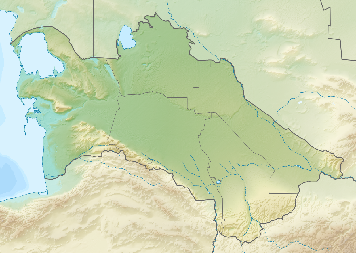
English: Relief map of Turkmenistan
Equirectangular projection, N/S stretching 130 %. Geographic limits of the map:
|
| Data | |
| Font | |
| Autor |
|
| Permís (Com reutilitzar aquest fitxer) |
Aquest fitxer està subjecte a la llicència de Creative Commons Reconeixement i Compartir Igual 3.0 No adaptada.
|
Historial del fitxer
Cliqueu una data/hora per veure el fitxer tal com era aleshores.
| Data/hora | Miniatura | Dimensions | Usuari/a | Comentari | |
|---|---|---|---|---|---|
| actual | 15:14, 27 ago 2010 | | 1.237 × 878 (1,07 Mo) | Виктор В | == {{int:filedesc}} == {{Information |Description={{en|Relief map of Turkmenistan}} Equirectangular projection, N/S stretching 130 %. Geographic limits of the map: * N: 43.2° N * S: 34.9° N * W: 52.0° E * E: 67.2° E |Source=*[[:Fi |
Ús del fitxer
La pàgina següent utilitza aquest fitxer:
Ús global del fitxer
Utilització d'aquest fitxer en altres wikis:
- Utilització a ar.wikipedia.org
- Utilització a ast.wikipedia.org
- Utilització a av.wikipedia.org
- Utilització a azb.wikipedia.org
- Utilització a az.wikipedia.org
- Şablon:Yer xəritəsi Türkmənistan
- Qaraqum səhrası
- Aşqabad zəlzələsi (1948)
- Kopetdağ
- Çələkən Oğurçalı boğazı
- Çələkən yarımadası
- Türkmənbaşı yarımadası
- Dərdcə yarımadası
- Oğurca
- Cənub-şərqi Qaraqum
- Sandıqlı çölü
- Zaunquz Qaraqumu
- Mərkəzi Qaraqum
- Sarıqamış gölü
- Altın əsr
- Qaraboğazgöl boğazı
- Baharlı mağarası
- Böyük oyun
- Utilització a ba.wikipedia.org
- Utilització a be-tarask.wikipedia.org
- Utilització a be.wikipedia.org
- Utilització a bg.wikipedia.org
Vegeu més usos globals d'aquest fitxer.