Fitxer:South Sudan location map.svg

Fitxer original (fitxer SVG, nominalment 1.561 × 1.133 píxels, mida del fitxer: 205 Ko)
| Aquest fitxer i la informació mostrada a continuació provenen del dipòsit multimèdia lliure Wikimedia Commons. |
Resum
| Descripció |
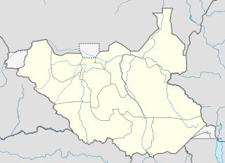
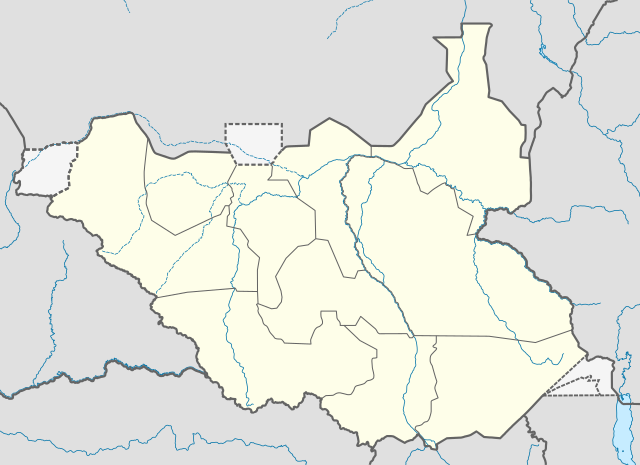
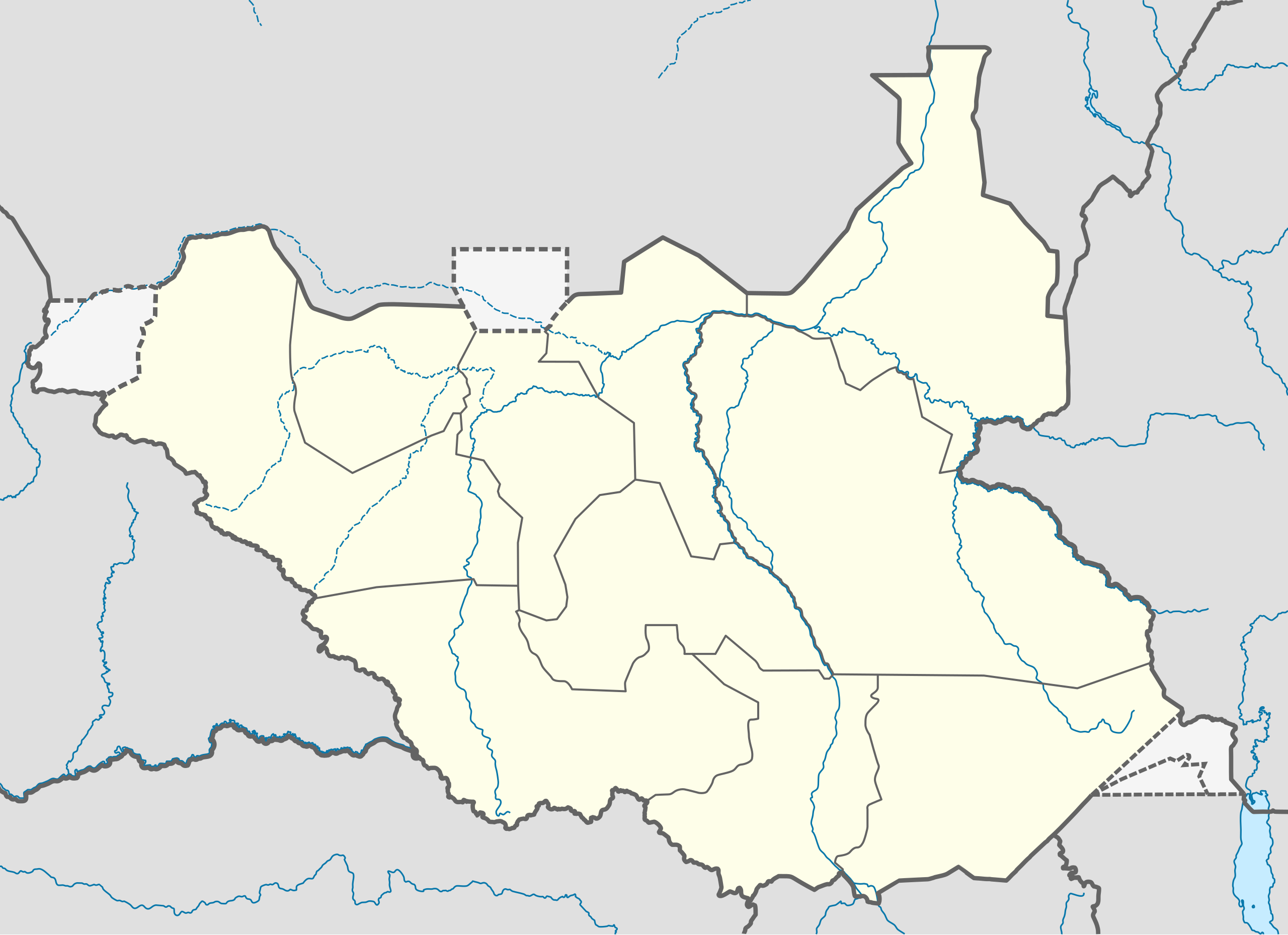
Deutsch: Positionskarte vom Südsudan
Quadratische Plattkarte, N-S-Streckung 101 %. Geographische Begrenzung der Karte:
English: Location map of South Sudan
Equirectangular projection, N/S stretching 101 %. Geographic limits of the map:
|
|
| Data | ||
| Font |
Treball propi, using
|
|
| Autor | NordNordWest | |
| Permís (Com reutilitzar aquest fitxer) |
Aquest fitxer està publicat sota la llicència de Creative Commons Reconeixement i Compartir Igual 3.0 Alemanya.
 Aquest fitxer està subjecte a la llicència de Creative Commons Reconeixement i Compartir Igual 3.0 No adaptada.
|
|
| Altres versions |
Derivative works of this file: File:South Sudan location green map.svg |


|
This map has been made or improved in the German Kartenwerkstatt (Map Lab). You can propose maps to improve as well.
|
Historial del fitxer
Cliqueu una data/hora per veure el fitxer tal com era aleshores.
| Data/hora | Miniatura | Dimensions | Usuari/a | Comentari | |
|---|---|---|---|---|---|
| actual | 10:21, 18 ago 2011 | | 1.561 × 1.133 (205 Ko) | Spesh531 | I am reverting and fixing all of the templates ot the best of my ability, I can need some help |
| 09:53, 18 ago 2011 |  | 1.500 × 1.133 (171 Ko) | NordNordWest | you cannot change the area that is shown without adjusting all templates in which this map is used | |
| 01:20, 18 ago 2011 |  | 1.561 × 1.133 (205 Ko) | Spesh531 | adding a disputed territory | |
| 13:42, 18 jul 2011 |  | 1.500 × 1.133 (171 Ko) | NordNordWest | corr | |
| 14:04, 8 jul 2011 |  | 1.500 × 1.133 (172 Ko) | NordNordWest | upd | |
| 16:23, 18 feb 2011 |  | 1.500 × 1.133 (178 Ko) | NordNordWest | =={{int:filedesc}}== {{Information |Description= {{de|Positionskarte vom Südsudan}} Quadratische Plattkarte, N-S-Streckung 101 %. Geographische Begrenzung der Karte: * N: 12.7° N * S: 3.2° N * W: 23.7° O * O: 36.4° O {{en|Location m |
Ús del fitxer
No hi ha pàgines que utilitzin aquest fitxer.
Ús global del fitxer
Utilització d'aquest fitxer en altres wikis:
- Utilització a af.wikipedia.org
- Utilització a ar.wikipedia.org
- Utilització a bn.wikipedia.org
- Utilització a ckb.wikipedia.org
- Utilització a da.wikipedia.org
- Utilització a de.wikipedia.org
- Utilització a en.wikipedia.org
- Utilització a eo.wikipedia.org
- Utilització a es.wikipedia.org
- Utilització a eu.wikipedia.org
- Utilització a fa.wikipedia.org
- Utilització a frr.wikipedia.org
- Utilització a gl.wikipedia.org
- Utilització a hy.wikipedia.org
- Utilització a id.wikipedia.org
- Utilització a incubator.wikimedia.org
- Utilització a it.wikipedia.org
Vegeu més usos globals d'aquest fitxer.