Fitxer:Angola municipalities.png
Mida d'aquesta previsualització: 800 × 487 píxels. Altres resolucions: 320 × 195 píxels | 640 × 390 píxels | 1.025 × 624 píxels.
Fitxer original (1.025 × 624 píxels, mida del fitxer: 21 Ko, tipus MIME: image/png)
| Aquest fitxer i la informació mostrada a continuació provenen del dipòsit multimèdia lliure Wikimedia Commons. |
Resum
| Descripció |
|
||
| Data | 29 de novembre de 2006 (original upload date) | ||
| Font | No machine-readable source provided. Own work assumed (based on copyright claims). | ||
| Autor | No machine-readable author provided. Electionworld assumed (based on copyright claims). |

Llicència
| Jo, el titular del copyright d'aquesta obra, l'allibero al domini públic. Això s'aplica a tot el món. En alguns països això pot no ser legalment possible, en tal cas: Jo faig concessió a tothom del dret d'usar aquesta obra per a qualsevol propòsit, sense cap condició llevat d'aquelles requerides per la llei. |
Historial del fitxer
Cliqueu una data/hora per veure el fitxer tal com era aleshores.
| Data/hora | Miniatura | Dimensions | Usuari/a | Comentari | |
|---|---|---|---|---|---|
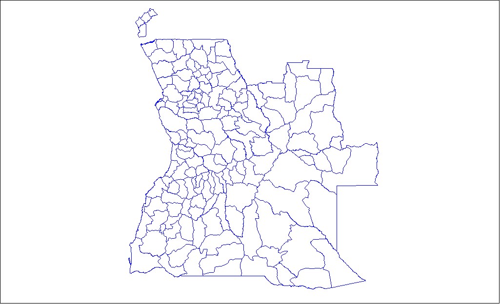
| actual | 14:35, 29 nov 2006 | | 1.025 × 624 (21 Ko) | Electionworld | {{ew|en|Rarelibra}} Map of the municipalities of Angola. Created by Rarelibra 18:06, 31 March 2006 (UTC) for public domain use. Created using MapInfo Professional v7.5 and various mapping resources. == Licensing == {{PD-self}} [[Categor |
Ús del fitxer
Les 2 pàgines següents utilitzen aquest fitxer:
Ús global del fitxer
Utilització d'aquest fitxer en altres wikis:
- Utilització a ar.wikipedia.org
- Utilització a bs.wikipedia.org
- Utilització a de.wikipedia.org
- Utilització a en.wikipedia.org
- Utilització a ie.wikipedia.org
- Utilització a it.wikipedia.org
- Utilització a pnb.wikipedia.org
- Utilització a pt.wikipedia.org
- Utilització a sw.wikipedia.org
- Utilització a tr.wikipedia.org
- Utilització a uk.wikipedia.org
- Utilització a ur.wikipedia.org
- Utilització a www.wikidata.org
- Utilització a zu.wikipedia.org