Fitxer:Beaufortzee.PNG
No hi ha cap versió amb una resolució més gran.
Beaufortzee.PNG (747 × 492 píxels, mida del fitxer: 16 Ko, tipus MIME: image/png)
| Aquest fitxer i la informació mostrada a continuació provenen del dipòsit multimèdia lliure Wikimedia Commons. |
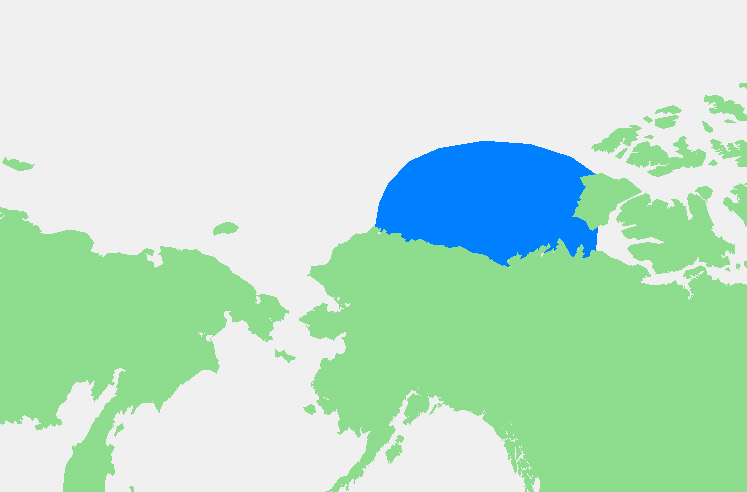
| Descripció | Beaufortzee / Beaufort Sea | ||||
| Font | Treball propi | ||||
| Autor | edited by M.Minderhoud | ||||
| Permís (Com reutilitzar aquest fitxer) |
|
Historial del fitxer
Cliqueu una data/hora per veure el fitxer tal com era aleshores.
| Data/hora | Miniatura | Dimensions | Usuari/a | Comentari | |
|---|---|---|---|---|---|
| actual | 21:13, 3 nov 2006 | | 747 × 492 (16 Ko) | Michiel1972 | {{Information |Description= {{subst:PAGENAME}} |Source= |Date= |Author= edited by M.Minderhoud |Permission= {{PD-Demis}} |other_versions= }} Category:Locator maps of seas |
Ús del fitxer
Les 2 pàgines següents utilitzen aquest fitxer:
Ús global del fitxer
Utilització d'aquest fitxer en altres wikis:
- Utilització a af.wikipedia.org
- Utilització a an.wikipedia.org
- Utilització a ar.wikipedia.org
- Utilització a ast.wikipedia.org
- Utilització a avk.wikipedia.org
- Utilització a azb.wikipedia.org
- Utilització a bg.wikipedia.org
- Utilització a bn.wikipedia.org
- Utilització a br.wikipedia.org
- Utilització a bs.wikipedia.org
- Utilització a de.wikipedia.org
- Utilització a el.wikipedia.org
- Utilització a en.wikipedia.org
- Utilització a eo.wikipedia.org
- Utilització a es.wikipedia.org
- Utilització a fa.wikipedia.org
- Utilització a fi.wikipedia.org
- Utilització a fr.wikipedia.org
- Utilització a fy.wikipedia.org
- Utilització a gl.wikipedia.org
- Utilització a hr.wikipedia.org
- Utilització a hu.wikipedia.org
- Utilització a hy.wikipedia.org
- Utilització a ia.wikipedia.org
- Utilització a id.wikipedia.org
- Utilització a ilo.wikipedia.org
- Utilització a is.wikipedia.org
- Utilització a ka.wikipedia.org
- Utilització a kbd.wikipedia.org
- Utilització a ky.wikipedia.org
- Utilització a la.wikipedia.org
- Utilització a li.wikipedia.org
- Utilització a mk.wikipedia.org
- Utilització a ml.wikipedia.org
- Utilització a mn.wikipedia.org
- Utilització a ms.wikipedia.org
- Utilització a mzn.wikipedia.org
- Utilització a nl.wikipedia.org
- Utilització a pl.wikipedia.org
- Utilització a pl.wiktionary.org
- Utilització a pnb.wikipedia.org
- Utilització a pt.wikipedia.org
- Utilització a sc.wikipedia.org
- Utilització a simple.wikipedia.org
- Utilització a sl.wikipedia.org
- Utilització a sr.wikipedia.org
Vegeu més usos globals d'aquest fitxer.