Fitxer:Bosnia and Hercegovina map without streets.png

Mida d'aquesta previsualització: 477 × 599 píxels. Altres resolucions: 191 × 240 píxels | 382 × 480 píxels | 612 × 768 píxels | 815 × 1.024 píxels | 2.348 × 2.948 píxels.
Fitxer original (2.348 × 2.948 píxels, mida del fitxer: 1,16 Mo, tipus MIME: image/png)
| Aquest fitxer i la informació mostrada a continuació provenen del dipòsit multimèdia lliure Wikimedia Commons. |
| Descripció |
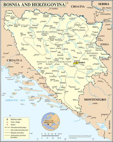
Deutsch: Bosnien und Herzegowina ohne Straßen und Eisenbahnlinien. Ortsnamen entsprechen dem Stand von vor 1993
English: Bosnia and Herzegovina without streets and railways. Names of towns as before 1993 |
| Data | 2 de març de 2009 (upload date) |
| Font |
self-made, using
|
| Autor | NordNordWest |

|
This map has been made or improved in the German Kartenwerkstatt (Map Lab). You can propose maps to improve as well.
|
Llicència
| Jo, el titular del copyright d'aquesta obra, l'allibero al domini públic. Això s'aplica a tot el món. En alguns països això pot no ser legalment possible, en tal cas: Jo faig concessió a tothom del dret d'usar aquesta obra per a qualsevol propòsit, sense cap condició llevat d'aquelles requerides per la llei. |
Historial del fitxer
Cliqueu una data/hora per veure el fitxer tal com era aleshores.
| Data/hora | Miniatura | Dimensions | Usuari/a | Comentari | |
|---|---|---|---|---|---|
| actual | 14:01, 2 març 2009 | | 2.348 × 2.948 (1,16 Mo) | NordNordWest | {{Information |Description={{de|Bosnien und Herzegowina ohne Straßen und Eisenbahnlinien}} {{en|Bosnia and Herzegovina without streets and railways}} |Source=self-made, using * file:Bosnia and Hercegovina map.png by The Cartographic Section of the U |
Ús del fitxer
La pàgina següent utilitza aquest fitxer:
Ús global del fitxer
Utilització d'aquest fitxer en altres wikis:
- Utilització a de.wikipedia.org
- Utilització a en.wikipedia.org
- Utilització a fr.wikipedia.org
- Utilització a hy.wikipedia.org
- Utilització a ru.wikipedia.org
- Utilització a simple.wikipedia.org
- Utilització a tr.wikipedia.org
- Utilització a uk.wikipedia.org