Fitxer:Hvo controlled.png
Fitxer original (1.220 × 1.100 píxels, mida del fitxer: 99 Ko, tipus MIME: image/png)
| Aquest fitxer i la informació mostrada a continuació provenen del dipòsit multimèdia lliure Wikimedia Commons. |
Resum
(
| Descripció |
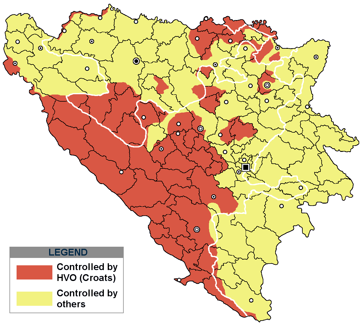
This is an update for the previous map, as the HVO never controlled all parts of municipality of Mostar and Stolac. Also, HVO never controlled neither part of municipalities Nevesinje, Berkovići, Ljubinje and Trebinje.
|
| Data | |
| Font | self-made by Nihad Hamzić |
| Autor | Nihad Hamzic |
}
Llicència
| S'ha alliberat aquesta obra al domini públic pel seu autor I, Nihad Hamzic. Això s'aplica a tot el món. En alguns països això pot no ser legalment possible, en tal cas: I, Nihad Hamzic concedeix a tothom el dret d'usar aquesta obra per a qualsevol propòsit, sense cap condició llevat d'aquelles requerides per la llei. |
The original image is here:
http://commons.wikimedia.org/wiki/Image:Hvo_controled.GIF
Check its description for licensing etc.
Historial del fitxer
Cliqueu una data/hora per veure el fitxer tal com era aleshores.
| Data/hora | Miniatura | Dimensions | Usuari/a | Comentari | |
|---|---|---|---|---|---|
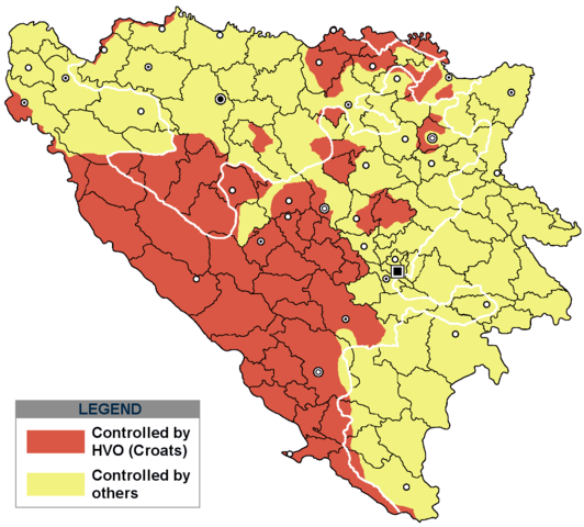
| actual | 19:21, 29 nov 2020 | | 1.220 × 1.100 (99 Ko) | Ceha | Tuzla i Bugojno |
| 15:31, 28 nov 2020 |  | 1.220 × 1.100 (98 Ko) | Ceha | Dodao neke promjene, od Ravne-Brčko, do Ravnog na jugu (operacija Bura https://hr.wikipedia.org/wiki/Operacija_Bura ) | |
| 19:40, 20 jul 2011 |  | 1.220 × 1.100 (48 Ko) | DIREKTOR | Colors | |
| 11:29, 11 feb 2009 |  | 1.220 × 1.100 (49 Ko) | Ceha | Corrected errors in Komušina municipality, HVO controled all of Croatian settlments till 10th of August 1991 | |
| 10:24, 11 ago 2008 |  | 1.220 × 1.100 (49 Ko) | Mostarac | {{Information |Description=This is an update for the previous map, as the HVO never controlled all parts of municipality of Mostar and Stolac. Also, HVO never controlled neither part of municipalities Nevesinje, Berkovići and Ljubinje. |Source=self-made | |
| 16:33, 5 gen 2008 |  | 1.220 × 1.100 (49 Ko) | Nihad Hamzic | Added a legend. Also widened the image slightly to match the size of related images. I did not resize it, but added white space at sides. | |
| 12:08, 17 jul 2007 |  | 1.213 × 1.100 (41 Ko) | Nihad Hamzic | Revised the colors to match (to be uniform) with colors in other related maps. | |
| 00:31, 16 jul 2007 |  | 1.213 × 1.100 (41 Ko) | Nihad Hamzic | {{Information |Description=BiH territories which were controlled by HVO and regular Croatian Army for some time during the war. <br /> <br /> NOTICE:<br /> This image is a greatly optimised PNG version of the original GIF version of the image. Color dihte |
Ús del fitxer
La pàgina següent utilitza aquest fitxer:
Ús global del fitxer
Utilització d'aquest fitxer en altres wikis:
- Utilització a ar.wikipedia.org
- Utilització a ast.wikipedia.org
- Utilització a bs.wikipedia.org
- Utilització a cs.wikipedia.org
- Utilització a de.wikipedia.org
- Utilització a es.wikipedia.org
- Utilització a eu.wikipedia.org
- Utilització a fr.wikipedia.org
- Utilització a gl.wikipedia.org
- Utilització a hy.wikipedia.org
- Utilització a hyw.wikipedia.org
- Utilització a it.wikipedia.org
- Utilització a pnb.wikipedia.org
- Utilització a pt.wikipedia.org
- Utilització a ru.wikipedia.org
- Utilització a sr.wikipedia.org
- Utilització a sv.wikipedia.org
- Utilització a vi.wikipedia.org