Fitxer:Location Rif.PNG
No hi ha cap versió amb una resolució més gran.
Location_Rif.PNG (472 × 372 píxels, mida del fitxer: 125 Ko, tipus MIME: image/png)
| Aquest fitxer i la informació mostrada a continuació provenen del dipòsit multimèdia lliure Wikimedia Commons. |
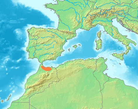
| Descripció | Locator maps for mountain ranges : Location Westerwald.PNG |
| Font | demis maps, see below |
| Autor |
This image is in the public domain because it came from the site https://www.demis.nl/products/web-map-server/examples/ and was released by the copyright holder. Permission is granted to copy, distribute and/or modify this map since it is based on free of copyright images from: www.demis.nl. See also approval email on de.wp and its clarification.
|
| This work has been released into the public domain by its copyright holder, www.demis.nl. This applies worldwide. En alguns països això pot no ser legalment possible, en tal cas: www.demis.nl concedeix a tothom el dret d'usar aquesta obra per a qualsevol propòsit, sense cap condició llevat d'aquelles requerides per la llei.
|
Historial del fitxer
Cliqueu una data/hora per veure el fitxer tal com era aleshores.
| Data/hora | Miniatura | Dimensions | Usuari/a | Comentari | |
|---|---|---|---|---|---|
| actual | 23:41, 30 juny 2007 | | 472 × 372 (125 Ko) | Michiel1972 | {{Information |Description=Locator maps for mountain ranges : Location Westerwald.PNG |Source=demis maps, see below |Date= |Author= |Permission=see below |other_versions= }} {{PD-Demis}} Category:Maps of mountain_ranges_of_Europe |
Ús del fitxer
No hi ha pàgines que utilitzin aquest fitxer.
Ús global del fitxer
Utilització d'aquest fitxer en altres wikis:
- Utilització a an.wikipedia.org
- Utilització a cs.wikipedia.org
- Utilització a es.wikipedia.org
- Utilització a incubator.wikimedia.org
- Utilització a ja.wikipedia.org
- Utilització a sv.wikipedia.org
- Utilització a tr.wikipedia.org
- Utilització a zgh.wikipedia.org