Fitxer:Map of Ontario BRANT.svg

Mida d'aquesta previsualització PNG del fitxer SVG: 340 × 330 píxels. Altres resolucions: 247 × 240 píxels | 495 × 480 píxels | 791 × 768 píxels | 1.055 × 1.024 píxels | 2.110 × 2.048 píxels.
Fitxer original (fitxer SVG, nominalment 340 × 330 píxels, mida del fitxer: 84 Ko)
| Aquest fitxer i la informació mostrada a continuació provenen del dipòsit multimèdia lliure Wikimedia Commons. |
Resum
Aquesta imatge vectorial ha estat creada amb Inkscape .
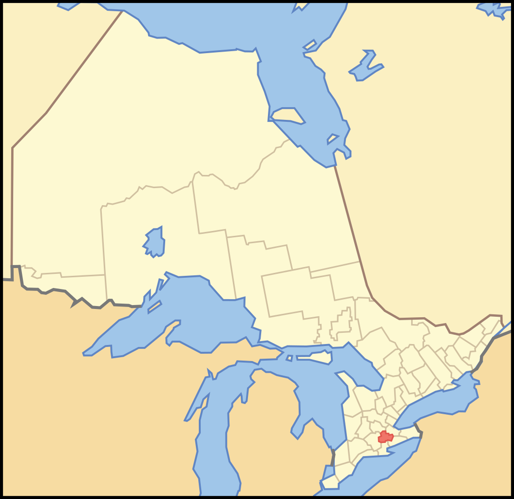
| Descripció | A map of Ontario highlighting the Single Tier Municipality of Brant |
| Data | |
| Font | Crop and trace of Image:Canada (geolocalisation).svg; trace of Image:Ontario subdivisions.PNG. |
| Autor | Vidioman |
| Altres versions | en:Image:Image:Ontbrt.PNG |
.svg)
Llicència
| Jo, el titular del copyright d'aquesta obra, l'allibero al domini públic. Això s'aplica a tot el món. En alguns països això pot no ser legalment possible, en tal cas: Jo faig concessió a tothom del dret d'usar aquesta obra per a qualsevol propòsit, sense cap condició llevat d'aquelles requerides per la llei. |
Historial del fitxer
Cliqueu una data/hora per veure el fitxer tal com era aleshores.
| Data/hora | Miniatura | Dimensions | Usuari/a | Comentari | |
|---|---|---|---|---|---|
| actual | 15:28, 16 oct 2007 | | 340 × 330 (84 Ko) | Vidioman | {{Created with Inkscape}} {{Information |Description=A map of Ontario highlighting the Single Tier Municipality of Brant |Source=Crop and trace of Image:Canada (geolocalisation).svg; trace of [http://en.wikipedia.org/wiki/Image:Ont |
.svg)
Ús del fitxer
La pàgina següent utilitza aquest fitxer:
Ús global del fitxer
Utilització d'aquest fitxer en altres wikis:
- Utilització a ar.wikipedia.org
- Utilització a ceb.wikipedia.org
- Utilització a de.wikipedia.org
- Utilització a diq.wikipedia.org
- Utilització a en.wikipedia.org
- Utilització a es.wikipedia.org
- Utilització a fa.wikipedia.org
- Utilització a ku.wikipedia.org
- Utilització a uk.wikipedia.org
- Utilització a ur.wikipedia.org
- Utilització a vo.wikipedia.org
- Utilització a www.wikidata.org
- Utilització a zh.wikipedia.org