Fitxer:Map of USA OH.svg

Mida d'aquesta previsualització PNG del fitxer SVG: 286 × 186 píxels. Altres resolucions: 320 × 208 píxels | 640 × 416 píxels | 1.024 × 666 píxels | 1.280 × 832 píxels | 2.560 × 1.665 píxels.
Fitxer original (fitxer SVG, nominalment 286 × 186 píxels, mida del fitxer: 167 Ko)
| Aquest fitxer i la informació mostrada a continuació provenen del dipòsit multimèdia lliure Wikimedia Commons. |
Clickable version
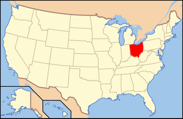
| Descripció | Map of USA with Ohio highlighted | ||||||||
| Data | see file history below. | ||||||||
| Font | own work by uploader, based on Image:Map of USA without state names.svg | ||||||||
| Autor |
This version: uploader Base versions this one is derived from: originally created by en:User:Wapcaplet |
||||||||
| Permís (Com reutilitzar aquest fitxer) |
Aquest fitxer està disponible sota la llicència Creative Commons Reconeixement 2.0 Genèrica.
|
||||||||
| Altres versions | image:Map of USA with state names.svg |

| Anotacions | Aquesta imatge té anotacions: Vegeu-les a Commons |
Historial del fitxer
Cliqueu una data/hora per veure el fitxer tal com era aleshores.
| Data/hora | Miniatura | Dimensions | Usuari/a | Comentari | |
|---|---|---|---|---|---|
| actual | 11:44, 9 juny 2006 | | 286 × 186 (167 Ko) | Huebi~commonswiki | {{Information| |Description=Map of USA with Ohio highlighted |other_versions=image:Map of USA with state names.svg }} Category:Maps of the United States Category:Maps of Ohio Category:SVG maps {{GFDL-en}}{{cc-by-2.0}}{{cc-by-sa-1.0}}{{c |
Ús del fitxer
La pàgina següent utilitza aquest fitxer:
Ús global del fitxer
Utilització d'aquest fitxer en altres wikis:
- Utilització a af.wikipedia.org
- Utilització a ang.wikipedia.org
- Utilització a an.wikipedia.org
- Utilització a arc.wikipedia.org
- Utilització a ay.wikipedia.org
- Utilització a az.wiktionary.org
- Utilització a ba.wikipedia.org
- Utilització a be-tarask.wikipedia.org
- Utilització a bi.wikipedia.org
- Utilització a bo.wikipedia.org
- Utilització a bpy.wikipedia.org
- Utilització a bs.wikipedia.org
- Utilització a bxr.wikipedia.org
- Utilització a ce.wikipedia.org
- Utilització a co.wikipedia.org
- Utilització a cs.wikipedia.org
- Utilització a cv.wikipedia.org
- Utilització a da.wikipedia.org
- Ohio
- Montgomery County (Ohio)
- Adams County (Ohio)
- Ashland County (Ohio)
- Monroe County (Ohio)
- Athens County
- Ashtabula County
- Huron County (Ohio)
- Hamilton County (Ohio)
- Hancock County (Ohio)
- Allen County (Ohio)
- Auglaize County
- Champaign County (Ohio)
- Cuyahoga County
- Perry County (Ohio)
- Vinton County
- Butler County (Ohio)
- Carroll County (Ohio)
- Erie County (Ohio)
- Ottawa County (Ohio)
Vegeu més usos globals d'aquest fitxer.