Fitxer:Map of the Caribbean - Lesser Antilles.png
No hi ha cap versió amb una resolució més gran.
Map_of_the_Caribbean_-_Lesser_Antilles.png (800 × 565 píxels, mida del fitxer: 33 Ko, tipus MIME: image/png)
| Aquest fitxer i la informació mostrada a continuació provenen del dipòsit multimèdia lliure Wikimedia Commons. |
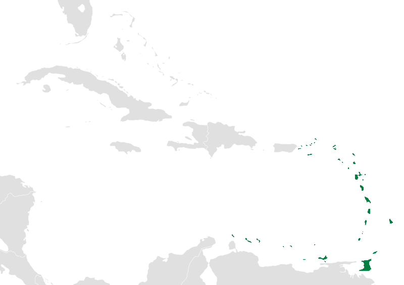
| Descripció | Map of the caribbean with the Lesser Antilles highlighted in green. |
| Data | (UTC) |
| Font | |
| Autor |
|
| Això és una imatge retocada, cosa que vol dir que ha estat alterada digitalment de la seva versió original. Modificacions: The Lesser Antilles are now highlighted in green.. L'original es pot veure a: BlankMap-Caribbean.svg:
|
Jo, el titular dels drets d'autor d'aquest treball, el public sota la següent llicència:
| Jo, el titular del copyright d'aquesta obra, l'allibero al domini públic. Això s'aplica a tot el món. En alguns països això pot no ser legalment possible, en tal cas: Jo faig concessió a tothom del dret d'usar aquesta obra per a qualsevol propòsit, sense cap condició llevat d'aquelles requerides per la llei. |
Registre original de càrregues
This image is a derivative work of the following images:
- File:BlankMap-Caribbean.svg licensed with PD-self
- 2010-09-20T02:01:50Z NuclearVacuum 896x633 (274735 Bytes) new version
- 2010-02-23T15:29:09Z NuclearVacuum 2201x1507 (214283 Bytes) cleanup
- 2010-02-11T19:26:10Z NuclearVacuum 2201x1507 (211807 Bytes) I have started from scratch and made a completely new map of the Caribbean. This current version has an invalid code, but I will work on that later.
- 2009-09-22T00:08:34Z NuclearVacuum 940x477 (252618 Bytes) {{Information |Description={{en|1=Map of the [[:en:Caribbean|Caribbean nations]].}} |Source=[[:File:BlankMap-World6.svg]]{{Inkscape}} |Author=[[User:NuclearVacuum|NuclearVacuum]] |Date=2009-09-21 |Permission= |other_versions=
Uploaded with derivativeFX
Historial del fitxer
Cliqueu una data/hora per veure el fitxer tal com era aleshores.
| Data/hora | Miniatura | Dimensions | Usuari/a | Comentari | |
|---|---|---|---|---|---|
| actual | 06:39, 19 nov 2010 | | 800 × 565 (33 Ko) | Uniongreen113 | {{Information |Description={{en|1=Map of the Caribbean nations. {{validSVG}}}} Map of the caribbean with the Lesser Antilles highlighted in green. |Source=*File:BlankMap-Caribbean.svg |Date=2010-11-19 04:38 (UTC) |Author=*[[:File:B |
Ús del fitxer
La pàgina següent utilitza aquest fitxer:
Ús global del fitxer
Utilització d'aquest fitxer en altres wikis:
- Utilització a ar.wikipedia.org
- Utilització a arz.wikipedia.org
- Utilització a ast.wikipedia.org
- Utilització a da.wikipedia.org
- Utilització a diq.wikipedia.org
- Utilització a en.wikipedia.org
- Utilització a es.wikipedia.org
- Utilització a fi.wikipedia.org
- Utilització a fo.wikipedia.org
- Utilització a frr.wikipedia.org
- Utilització a fr.wikipedia.org
- Utilització a ga.wikipedia.org
- Utilització a ko.wikipedia.org
- Utilització a ku.wikipedia.org
- Utilització a lb.wikipedia.org
- Utilització a lv.wikipedia.org
- Utilització a ms.wikipedia.org
- Utilització a no.wikipedia.org
- Utilització a pcd.wikipedia.org
- Utilització a pl.wiktionary.org
- Utilització a pnb.wikipedia.org
- Utilització a sco.wikipedia.org
- Utilització a sk.wikipedia.org
- Utilització a sl.wikipedia.org
- Utilització a sr.wikipedia.org
- Utilització a th.wikipedia.org
- Utilització a uk.wikipedia.org
- Utilització a ur.wikipedia.org
- Utilització a vi.wikipedia.org
- Utilització a war.wikipedia.org
- Utilització a www.wikidata.org
- Utilització a zh-min-nan.wikipedia.org
- Utilització a zh.wikipedia.org