Fitxer:Ocean City Maryland aerial view north.jpg
Mida d'aquesta previsualització: 800 × 534 píxels. Altres resolucions: 320 × 214 píxels | 640 × 427 píxels | 1.024 × 683 píxels | 1.500 × 1.001 píxels.
Fitxer original (1.500 × 1.001 píxels, mida del fitxer: 753 Ko, tipus MIME: image/jpeg)
| Aquest fitxer i la informació mostrada a continuació provenen del dipòsit multimèdia lliure Wikimedia Commons. |
| Descripció |
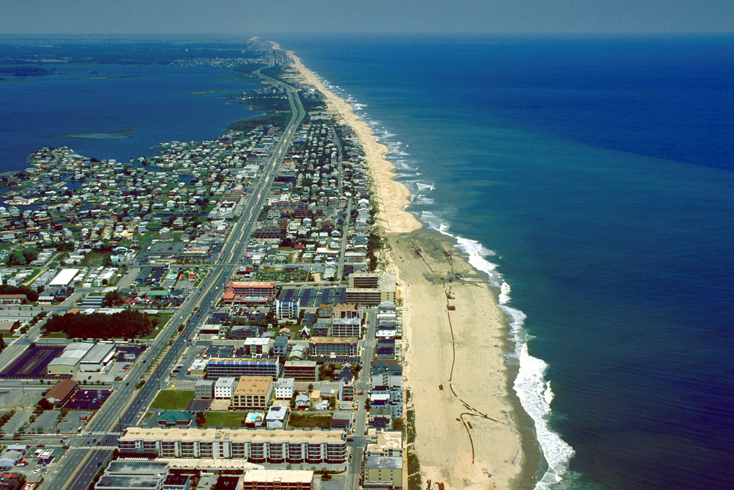
English: Aerial view of Ocean City, Maryland, USA. View is to the north-northeast. |
|||
| Data | ||||
| Font |
U.S. Army Corps of Engineers Digital Visual Library Image page Image description page Digital Visual Library home page |
|||
| Autor | Tex Jobe, U.S. Army Corps of Engineers | |||
| Permís (Com reutilitzar aquest fitxer) |
|
|||
| Localització | Ocean City, Maryland, USA |
| Posició de la càmera | | Aquesta i altres imatges properes a: OpenStreetMap |
|---|
Historial del fitxer
Cliqueu una data/hora per veure el fitxer tal com era aleshores.
| Data/hora | Miniatura | Dimensions | Usuari/a | Comentari | |
|---|---|---|---|---|---|
| actual | 03:10, 8 abr 2007 | | 1.500 × 1.001 (753 Ko) | DanMS | {{Information | Description = {{en|Aerial view of Ocean City, Maryland, USA. View is to the north-northeast.}} | Source = U.S. Army Corps of Engineers Digital Visual Library<br />[http://images.usace.army.mil/images/Hires/0454-12.Jpg Image page |
Ús del fitxer
La pàgina següent utilitza aquest fitxer:
Ús global del fitxer
Utilització d'aquest fitxer en altres wikis:
- Utilització a ar.wikipedia.org
- Utilització a bg.wikipedia.org
- Utilització a bo.wikipedia.org
- Utilització a de.wikipedia.org
- Utilització a en.wikipedia.org
- Utilització a es.wikipedia.org
- Utilització a fa.wikipedia.org
- Utilització a fr.wikipedia.org
- Utilització a hak.wikipedia.org
- Utilització a hi.wikipedia.org
- Utilització a hu.wikipedia.org
- Utilització a ilo.wikipedia.org
- Utilització a is.wikipedia.org
- Utilització a it.wikipedia.org
- Utilització a ja.wikipedia.org
- Utilització a kn.wikipedia.org
- Utilització a pam.wikipedia.org
- Utilització a pl.wikipedia.org
- Utilització a pt.wikipedia.org
- Utilització a tr.wikipedia.org
- Utilització a ur.wikipedia.org
- Utilització a zh.wikipedia.org