Fitxer:Sadogashima Island Relief Map, SRTM-1.jpg
Mida d'aquesta previsualització: 360 × 600 píxels. Altres resolucions: 144 × 240 píxels | 288 × 480 píxels | 461 × 768 píxels | 1.200 × 2.000 píxels.
Fitxer original (1.200 × 2.000 píxels, mida del fitxer: 885 Ko, tipus MIME: image/jpeg)
| Aquest fitxer i la informació mostrada a continuació provenen del dipòsit multimèdia lliure Wikimedia Commons. |
Resum
| Descripció | |
| Data | |
| Font |
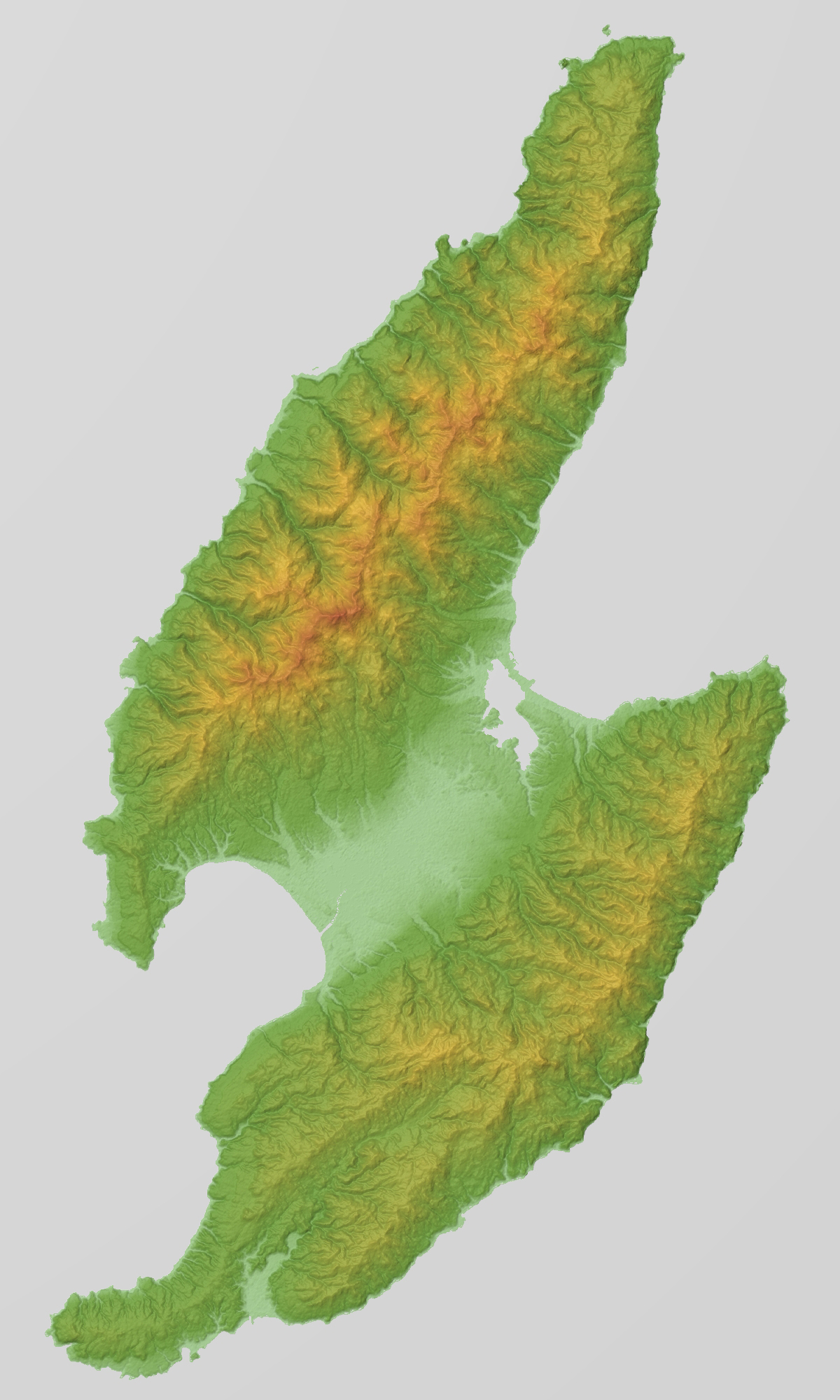
Topographic data: NASA's SRTM-1 30m Mesh (ver.3 2014) |
| Autor | Batholith |
| Posició de l'objecte | | Aquesta i altres imatges properes a: OpenStreetMap |
|---|
Llicència
| Jo, el titular del copyright d'aquesta obra, l'allibero al domini públic. Això s'aplica a tot el món. En alguns països això pot no ser legalment possible, en tal cas: Jo faig concessió a tothom del dret d'usar aquesta obra per a qualsevol propòsit, sense cap condició llevat d'aquelles requerides per la llei. |
This image uses high-resolution digital topography data from NASA's Shuttle Radar Topography Mission (SRTM) at JPL-Caltech [1]. It is in the public domain in the United States.
|
 | |
Historial del fitxer
Cliqueu una data/hora per veure el fitxer tal com era aleshores.
| Data/hora | Miniatura | Dimensions | Usuari/a | Comentari | |
|---|---|---|---|---|---|
| actual | 09:22, 29 feb 2016 | | 1.200 × 2.000 (885 Ko) | Batholith | {{Information |Description= {{en|Relief map of Sadogashima Island (佐渡島), Niigata Prefecture, Japan. From "SRTM-1 (30m Mesh) Ver.3 2014".}}... |
Ús del fitxer
No hi ha pàgines que utilitzin aquest fitxer.
Ús global del fitxer
Utilització d'aquest fitxer en altres wikis:
- Utilització a en.wikipedia.org
- Utilització a fi.wikipedia.org
- Utilització a id.wikipedia.org
- Utilització a ja.wikipedia.org
- Utilització a no.wikipedia.org
- Utilització a sv.wikipedia.org
- Utilització a tr.wikipedia.org
- Utilització a www.wikidata.org
- Utilització a zh.wikipedia.org