Fitxer:Seward Alaska aerial view.jpg
Mida d'aquesta previsualització: 800 × 539 píxels. Altres resolucions: 320 × 216 píxels | 640 × 431 píxels | 1.024 × 690 píxels | 1.500 × 1.011 píxels.
Fitxer original (1.500 × 1.011 píxels, mida del fitxer: 533 Ko, tipus MIME: image/jpeg)
| Aquest fitxer i la informació mostrada a continuació provenen del dipòsit multimèdia lliure Wikimedia Commons. |
| Descripció |
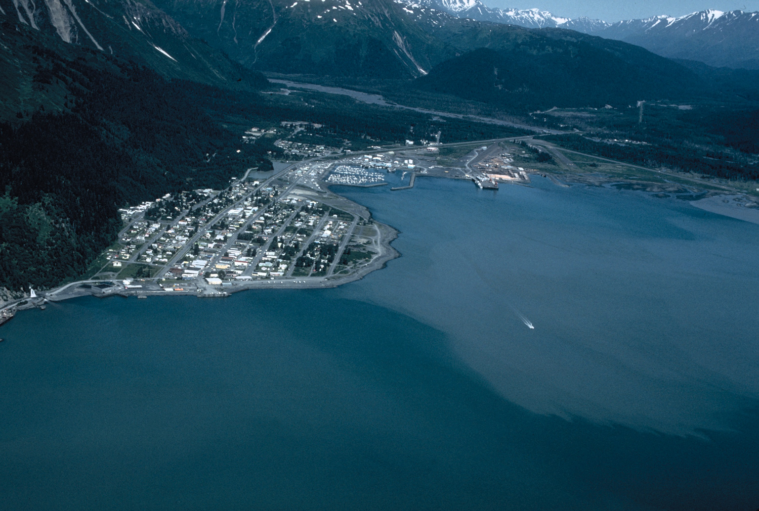
English: Aerial view of Seward, Alaska, USA. |
|||
| Localització | Seward, Alaska, USA 60°6′17.66″N 149°26′2.31″W / 60.1049056°N 149.433975°W |
|||
| Data | not specified or unknown | |||
| Font |
U.S. Army Corps of Engineers Digital Visual Library Image page Image description page Digital Visual Library home page |
|||
| Autor | U.S. Army Corps of Engineers, photographer not specified or unknown | |||
| Permís (Com reutilitzar aquest fitxer) |
|
Historial del fitxer
Cliqueu una data/hora per veure el fitxer tal com era aleshores.
| Data/hora | Miniatura | Dimensions | Usuari/a | Comentari | |
|---|---|---|---|---|---|
| actual | 05:37, 20 març 2007 | | 1.500 × 1.011 (533 Ko) | DanMS | {{Information | Description = Aerial view of Seward, Alaska, USA. | Source = U.S. Army Corps of Engineers Digital Visual Library<br />[http://images.usace.army.mil/images/Hires/4414-26.Jpg Image page]<br />[http://images.usace.army.mil/scripts/ |
Ús del fitxer
Les 2 pàgines següents utilitzen aquest fitxer:
Ús global del fitxer
Utilització d'aquest fitxer en altres wikis:
- Utilització a af.wikipedia.org
- Utilització a ar.wikipedia.org
- Utilització a arz.wikipedia.org
- Utilització a az.wikipedia.org
- Utilització a ceb.wikipedia.org
- Utilització a ce.wikipedia.org
- Utilització a dag.wikipedia.org
- Utilització a da.wikipedia.org
- Utilització a de.wikipedia.org
- Utilització a en.wikipedia.org
- Utilització a en.wikivoyage.org
- Utilització a eu.wikipedia.org
- Utilització a fi.wikipedia.org
- Utilització a fr.wikipedia.org
- Utilització a fr.wikivoyage.org
- Utilització a ga.wikipedia.org
- Utilització a he.wikivoyage.org
- Utilització a ht.wikipedia.org
- Utilització a hy.wikipedia.org
- Utilització a is.wikipedia.org
- Utilització a it.wikipedia.org
- Utilització a it.wikivoyage.org
- Utilització a ja.wikipedia.org
- Utilització a ko.wikipedia.org
- Utilització a lld.wikipedia.org
- Utilització a no.wikipedia.org
- Utilització a pl.wikipedia.org
- Utilització a pt.wikipedia.org
- Utilització a ru.wikipedia.org
- Utilització a sh.wikipedia.org
- Utilització a simple.wikipedia.org
- Utilització a sr.wikipedia.org
- Utilització a sv.wikipedia.org
- Utilització a tr.wikipedia.org
- Utilització a tt.wikipedia.org
- Utilització a uk.wikipedia.org
- Utilització a uz.wikipedia.org
- Utilització a vo.wikipedia.org
- Utilització a www.wikidata.org
- Utilització a zh-min-nan.wikipedia.org