Fitxer:State Street in the Salem Downtown HD.jpg

Mida d'aquesta previsualització: 800 × 450 píxels. Altres resolucions: 320 × 180 píxels | 640 × 360 píxels | 1.024 × 576 píxels | 1.280 × 720 píxels | 2.816 × 1.584 píxels.
Fitxer original (2.816 × 1.584 píxels, mida del fitxer: 1,87 Mo, tipus MIME: image/jpeg)
| Aquest fitxer i la informació mostrada a continuació provenen del dipòsit multimèdia lliure Wikimedia Commons. |
|
This is an image of a place or building that is listed on the National Register of Historic Places in the United States of America. Its reference number is 95001416. |
| Posició de la càmera | | Aquesta i altres imatges properes a: OpenStreetMap |
|---|
| Descripció |
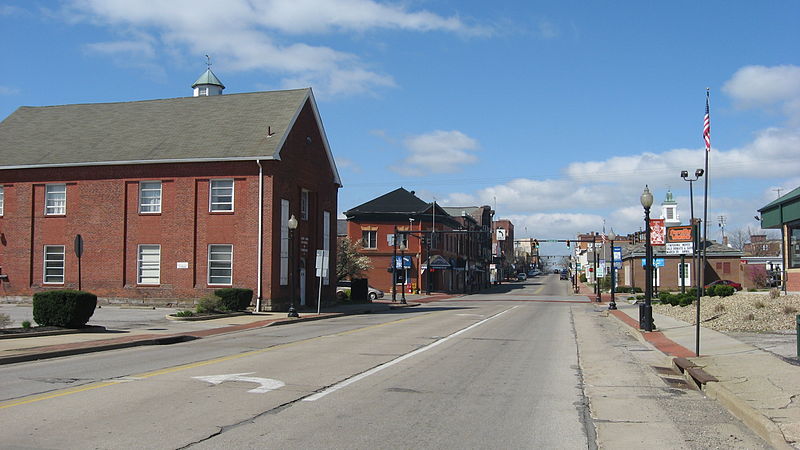
English: Looking westward on E. State Street (State Route 14) on the eastern edge of downtown Salem, Ohio, United States. These blocks are part of the Salem Downtown Historic District, a historic district that is listed on the National Register of Historic Places. |
||
| Data | Taken on 2 d'abril de 2012 | ||
| Font | Treball propi | ||
| Autor | Nyttend | ||
| Permís (Com reutilitzar aquest fitxer) |
|
Historial del fitxer
Cliqueu una data/hora per veure el fitxer tal com era aleshores.
| Data/hora | Miniatura | Dimensions | Usuari/a | Comentari | |
|---|---|---|---|---|---|
| actual | 15:37, 6 maig 2012 | | 2.816 × 1.584 (1,87 Mo) | Nyttend | {{NRHP|95001416}} {{Location|40|54|3.5|N|80|51|3|W}} {{Information |Description={{en|Looking westward on E. State Street ({{w|Ohio State Route 14|State Route 14}}) on the eastern edge of downtown {{w|Salem, Ohio|Salem}}, {{w|Ohio}}, {{w|United States}}... |
Ús del fitxer
No hi ha pàgines que utilitzin aquest fitxer.
Ús global del fitxer
Utilització d'aquest fitxer en altres wikis:
- Utilització a azb.wikipedia.org
- Utilització a ceb.wikipedia.org
- Utilització a en.wikipedia.org
- Utilització a pl.wikipedia.org
- Utilització a pt.wikipedia.org
- Utilització a tr.wikipedia.org
- Utilització a ur.wikipedia.org
- Utilització a www.wikidata.org
- Utilització a zh-min-nan.wikipedia.org