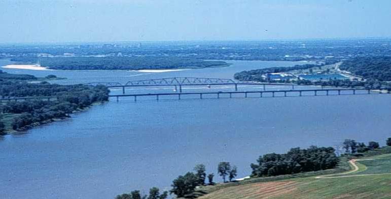
Fitxer:Miss R dam 27.jpg
Miss_R_dam_27.jpg (771 × 394 píxels, mida del fitxer: 35 Ko, tipus MIME: image/jpeg)
Historial del fitxer
Cliqueu una data/hora per veure el fitxer tal com era aleshores.
| Data/hora | Miniatura | Dimensions | Usuari/a | Comentari | |
|---|---|---|---|---|---|
| actual | 04:33, 19 març 2005 |  | 771 × 394 (35 Ko) | Fanghong | from en wiki |
Ús del fitxer
La pàgina següent utilitza aquest fitxer:
Ús global del fitxer
Utilització d'aquest fitxer en altres wikis:
- Utilització a ang.wikipedia.org
- Utilització a ar.wikipedia.org
- Utilització a azb.wikipedia.org
- Utilització a ba.wikipedia.org
- Utilització a bcl.wikipedia.org
- Utilització a be-tarask.wikipedia.org
- Utilització a be.wikipedia.org
- Utilització a bg.wikipedia.org
- Utilització a bxr.wikipedia.org
- Utilització a co.wikipedia.org
- Utilització a cv.wikipedia.org
- Utilització a cy.wikipedia.org
- Utilització a da.wikipedia.org
- Utilització a en.wikipedia.org
- Utilització a eo.wikipedia.org
- Utilització a es.wikipedia.org
- Utilització a es.wikibooks.org
- Utilització a eu.wikipedia.org
- Utilització a fr.wikipedia.org
- Utilització a gcr.wikipedia.org
- Utilització a gl.wikipedia.org
- Utilització a gn.wikipedia.org
- Utilització a ha.wikipedia.org
- Utilització a he.wikipedia.org
- Utilització a hi.wikipedia.org
- Utilització a hu.wikipedia.org
- Utilització a ia.wikipedia.org
- Utilització a incubator.wikimedia.org
- Utilització a it.wikipedia.org
- Utilització a ja.wikipedia.org
- Utilització a kk.wikipedia.org
- Utilització a ko.wikipedia.org
- Utilització a ky.wikipedia.org
- Utilització a mg.wikipedia.org
- Utilització a mhr.wikipedia.org
- Utilització a ml.wikipedia.org
- Utilització a mn.wikipedia.org
- Utilització a mwl.wikipedia.org
Vegeu més usos globals d'aquest fitxer.


