Fitxer:Allendale Mill 1969.jpg

Mida d'aquesta previsualització: 800 × 552 píxels. Altres resolucions: 320 × 221 píxels | 640 × 442 píxels | 953 × 658 píxels.
Fitxer original (953 × 658 píxels, mida del fitxer: 106 Ko, tipus MIME: image/jpeg)
| Aquest fitxer i la informació mostrada a continuació provenen del dipòsit multimèdia lliure Wikimedia Commons. |
Resum
| Descripció |
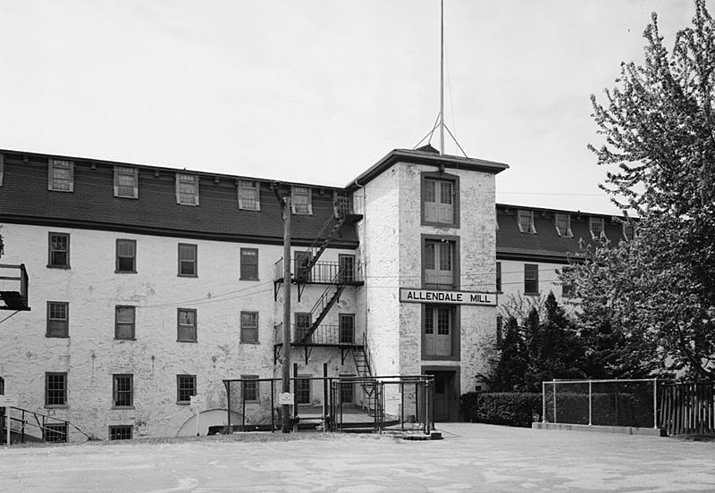
English: Allendale Mill — 494 Woonasquatucket Avenue, Centerdale, Providence County, Rhode Island — north elevation, looking west.
|
|||||||||||||||||||||||||
| Data | ||||||||||||||||||||||||||
| Font | Library of Congress, Prints and Photographs Division, Historic American Buildings Survey, HABS: RI,4-CENT,2-2 | |||||||||||||||||||||||||
| Autor |
|
|||||||||||||||||||||||||
| Permís (Com reutilitzar aquest fitxer) |
|
|||||||||||||||||||||||||

| Posició de l'objecte | | Aquesta i altres imatges properes a: OpenStreetMap |
|---|

|
This image is available from the United States Library of Congress's Prints and Photographs division
under the digital ID hhh.ri0094. This tag does not indicate the copyright status of the attached work. A normal copyright tag is still required. See Commons:Licensing.
|
Historial del fitxer
Cliqueu una data/hora per veure el fitxer tal com era aleshores.
| Data/hora | Miniatura | Dimensions | Usuari/a | Comentari | |
|---|---|---|---|---|---|
| actual | 11:34, 11 abr 2009 | | 953 × 658 (106 Ko) | Cropbot | upload cropped version, operated by User:Finavon. Summary: border cropped |
| 22:11, 10 abr 2009 |  | 1.024 × 733 (119 Ko) | Marcbela | {{Information |Description={{en|1=Allendale Mill, 494 Woonasquatucket Avenue, Centerdale, Providence County, RI }} |Source=http://memory.loc.gov/pnp/habshaer/ri/ri0000/ri0094/photos/145082pv.jpg |Author=Jack Boucher |Date=1969 |Permission= |other_versions |
Ús del fitxer
La pàgina següent utilitza aquest fitxer:
Ús global del fitxer
Utilització d'aquest fitxer en altres wikis:
- Utilització a en.wikipedia.org
- Utilització a fr.wikibooks.org
- Utilització a www.wikidata.org