Fitxer:Atlantis map 1882 crop.jpg
Fitxer original (2.821 × 1.657 píxels, mida del fitxer: 1,06 Mo, tipus MIME: image/jpeg)
| Aquest fitxer i la informació mostrada a continuació provenen del dipòsit multimèdia lliure Wikimedia Commons. |
Resum
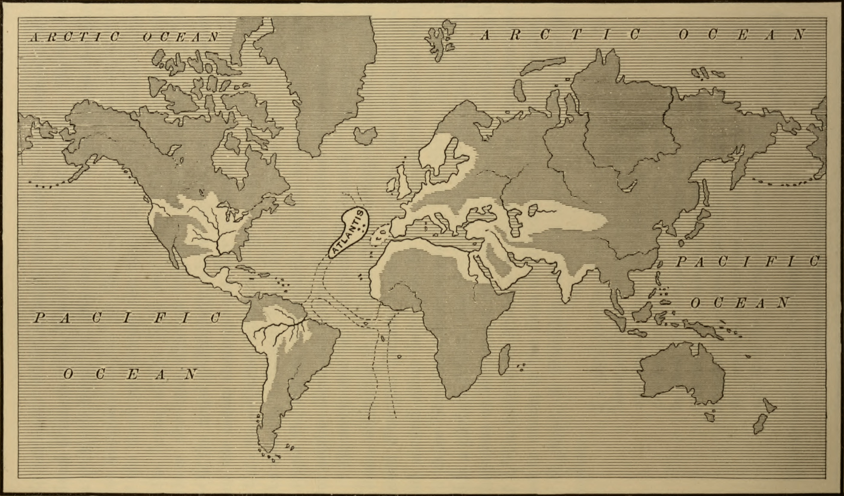
| Descripció | Map of the Atlantean Empire, from Ignatius Donelly's Atlantis: the Antediluvian World, 1882. | ||
| Data | |||
| Font |
|
||
| Autor | Ignatius Donnelly; cropped by Beyond My Ken (talk) 22:14, 28 September 2010 (UTC) | ||
| Altres versions |


Llicència
|
Aquest material està en domini públic als Estats Units i als altres països on el dret d'autor s'estén per 70 anys (o menys) després de la mort de l'autor.
| |
| Aquest fitxer està identificat com a lliure de restriccions conegudes sota la llei de drets d'autor, inclosos els drets veïns. | |
Historial del fitxer
Cliqueu una data/hora per veure el fitxer tal com era aleshores.
| Data/hora | Miniatura | Dimensions | Usuari/a | Comentari | |
|---|---|---|---|---|---|
| actual | 00:29, 5 nov 2020 | | 2.821 × 1.657 (1,06 Mo) | Sette-quattro | higher quality |
| 00:14, 29 set 2010 |  | 595 × 330 (52 Ko) | Beyond My Ken | {{Information |Description=Map of the Atlantean Empire, from Ignatius Donelly's Atlantis: the Antediluvian World, 1882. |Source=Image from the Library of Congress, http://lcweb2.loc.gov/cgi-bin/query/D?ils:1:./temp/~pp_aA2u::@@@mdb=fsaall,app,brum,detr,s |
Ús del fitxer
No hi ha pàgines que utilitzin aquest fitxer.
Ús global del fitxer
Utilització d'aquest fitxer en altres wikis:
- Utilització a ar.wikiversity.org
- Utilització a az.wikipedia.org
- Utilització a cs.wikipedia.org
- Utilització a en.wikipedia.org
- Utilització a he.wikipedia.org
- Utilització a ia.wikipedia.org
- Utilització a id.wikipedia.org
- Utilització a ja.wikipedia.org
- Utilització a my.wikipedia.org
- Utilització a pt.wikipedia.org
- Utilització a uk.wikipedia.org
- Utilització a www.wikidata.org