Fitxer:Boundary Stone (District of Columbia) NE 2.jpg

Mida d'aquesta previsualització: 450 × 600 píxels. Altres resolucions: 180 × 240 píxels | 360 × 480 píxels | 576 × 768 píxels | 768 × 1.024 píxels | 1.301 × 1.734 píxels.
Fitxer original (1.301 × 1.734 píxels, mida del fitxer: 620 Ko, tipus MIME: image/jpeg)
| Aquest fitxer i la informació mostrada a continuació provenen del dipòsit multimèdia lliure Wikimedia Commons. |
_NE_2.jpg?uselang=ca)
|
This is an image of a place or building that is listed on the National Register of Historic Places in the United States of America. Its reference number is 96001257. |
| Descripció |
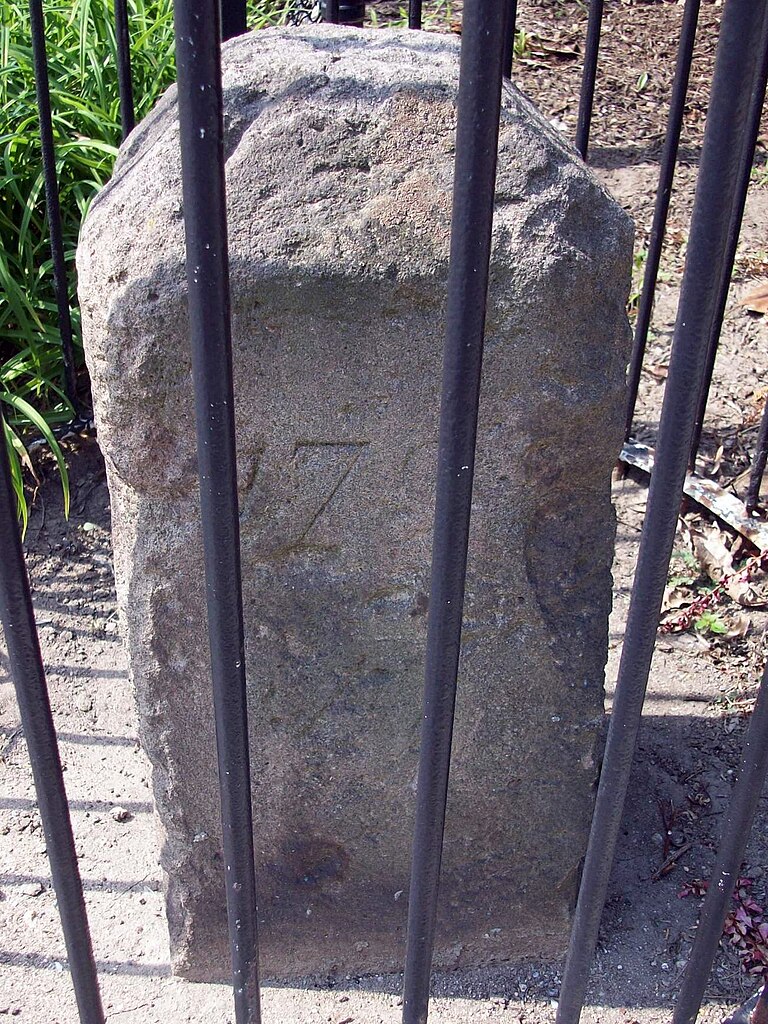
Boundary Stone NE 2 between the District of Columbia and Takoma Park, Maryland (6980 Maple Street NW} Boundary Stone |
| Data | |
| Font | Flickr |
| Autor | Bruce Andersen from Washington, DC |
| Permís (Com reutilitzar aquest fitxer) |
Aquest fitxer està publicat sota la llicència de Creative Commons Reconeixement i Compartir Igual 2.0 Genèrica.
|
| This image was originally posted to Flickr by evrik at https://www.flickr.com/photos/12087947@N00/4936546126. It was reviewed on 03:15, 29 August 2010 (UTC) by FlickreviewR, who found it to be licensed under the terms of the cc-by-sa-2.0, which is compatible with the Commons. It is, however, not the same license as specified on upload, which was the cc-by-sa, and it is unknown whether that license ever was valid. |
| Posició de la càmera | | Aquesta i altres imatges properes a: OpenStreetMap |
|---|
_NE_2.jpg¶ms=038.975366_N_-077.014589_E_globe:Earth_type:camera__&language=ca)
Historial del fitxer
Cliqueu una data/hora per veure el fitxer tal com era aleshores.
| Data/hora | Miniatura | Dimensions | Usuari/a | Comentari | |
|---|---|---|---|---|---|
| actual | 05:08, 29 ago 2010 | | 1.301 × 1.734 (620 Ko) | Evrik | {{Flickr |description=Boundary Stone between the District of Columbia and Takoma Park, Maryland (6980 Maple Street NW} |flickr_url=http://www.flickr.com/photo |
Ús del fitxer
La pàgina següent utilitza aquest fitxer:
Ús global del fitxer
Utilització d'aquest fitxer en altres wikis:
- Utilització a en.wikipedia.org
- Utilització a www.wikidata.org
_NE_2.jpg)