Fitxer:Carte du Conseil de l'Europe.png
Mida d'aquesta previsualització: 784 × 600 píxels. Altres resolucions: 314 × 240 píxels | 628 × 480 píxels | 1.004 × 768 píxels | 1.200 × 918 píxels.
Fitxer original (1.200 × 918 píxels, mida del fitxer: 284 Ko, tipus MIME: image/png)
| Aquest fitxer i la informació mostrada a continuació provenen del dipòsit multimèdia lliure Wikimedia Commons. |

|
File:Map of Council of Europe member states by founding and later members.svg és una versió vectorial (SVG) d'aquest fitxer. En cas de ser millor, hauria de ser emprada en lloc d'aquesta imatge tramada.
File:Carte du Conseil de l'Europe.png → File:Map of Council of Europe member states by founding and later members.svg
Per a més informació pel que fa als gràfics vectorials, llegiu la transició a SVG en Commons. També hi ha informació quant a la compatibilitat del MediaWiki amb les imatges SVG. |
 |
Resum
| Descripció | |
| Data | |
| Font | Own work by uploader, based on Image:Euro 2008.png |
| Autor | JLogan |
Llicència
Jo, el titular dels drets d'autor d'aquest treball, el public sota les següents llicències:
Aquest fitxer està subjecte a la llicència de Creative Commons Reconeixement i Compartir Igual 3.0 No adaptada.
- Sou lliure de:
- compartir – copiar, distribuir i comunicar públicament l'obra
- adaptar – fer-ne obres derivades
- Amb les condicions següents:
- reconeixement – Heu de donar la informació adequada sobre l'autor, proporcionar un enllaç a la llicència i indicar si s'han realitzat canvis. Podeu fer-ho amb qualsevol mitjà raonable, però de cap manera no suggereixi que l'autor us dóna suport o aprova l'ús que en feu.
- compartir igual – Si modifiqueu, transformeu, o generareu amb el material, haureu de distribuir les vostres contribucions sota una llicència similar o una de compatible com l'original

|
S'autoritza la còpia, la distribució i la modificació d'aquest document sota els termes de la llicència de documentació lliure GNU versió 1.2 o qualsevol altra versió posterior que publiqui la Free Software Foundation; sense seccions invariants, ni textos de portada, ni textos de contraportada. S'inclou una còpia d'aquesta llicència en la secció titulada GNU Free Documentation License. |
Podeu seleccionar la llicència que vulgueu.
Historial del fitxer
Cliqueu una data/hora per veure el fitxer tal com era aleshores.
| Data/hora | Miniatura | Dimensions | Usuari/a | Comentari | |
|---|---|---|---|---|---|
| actual | 19:50, 11 març 2022 | | 1.200 × 918 (284 Ko) | Sbb1413 | Update. |
| 15:19, 1 oct 2020 |  | 1.200 × 1.000 (38 Ko) | Super Dromaeosaurus | Added Isle of Man, Guernsey and Jersey | |
| 06:49, 6 gen 2015 |  | 1.200 × 1.000 (52 Ko) | Jurryaany | Fixed German sovereignty over Borkum. | |
| 05:52, 14 nov 2013 |  | 1.200 × 1.000 (48 Ko) | Che829 | Reverted to version as of 21:36, 19 August 2008 - Nonfactual unsupported claim as per official documents published by CoE (Founders are only the 10 original signatories of w:Treaty of London (1949) on 5 May 1949 at St. James's Palace in London http... | |
| 23:27, 13 feb 2009 |  | 1.200 × 1.000 (43 Ko) | Emturan | Greece and Turkey are striped to show their founder member status while they joined to Council of Europe later. | |
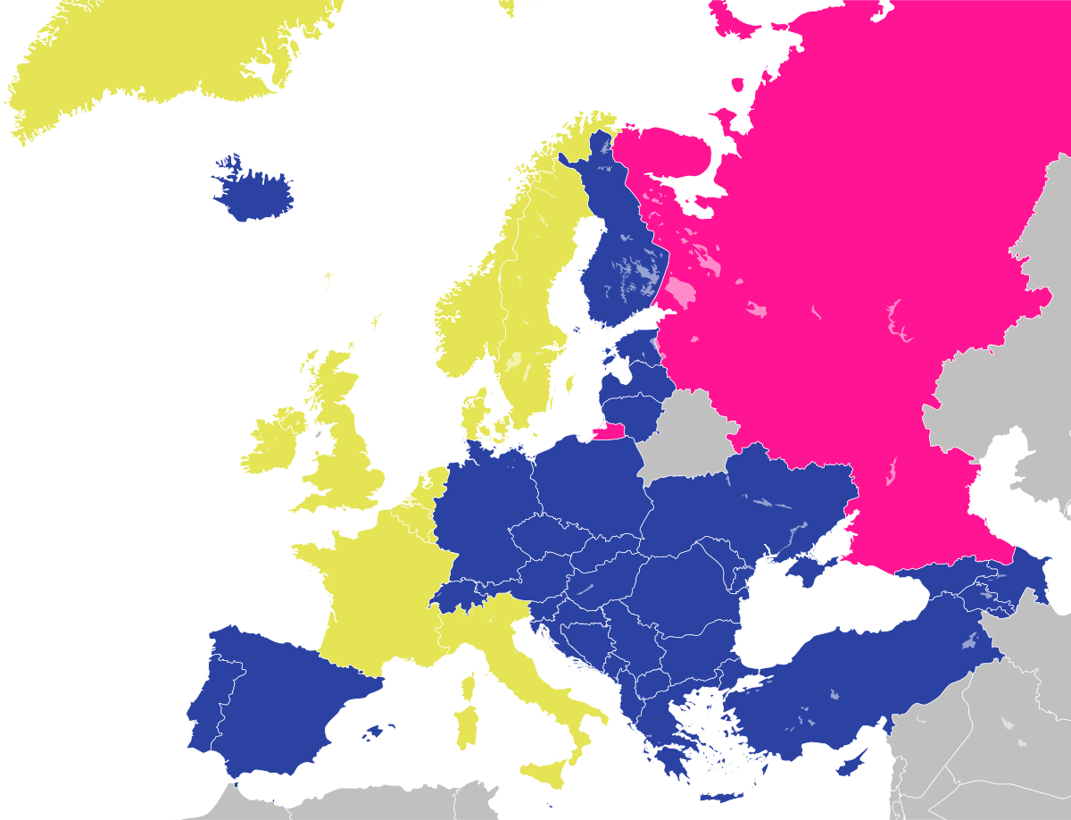
| 23:36, 19 ago 2008 |  | 1.200 × 1.000 (48 Ko) | JLogan | {{Information |Description={{en|1=Map of the Council of Europe.<br />{{legend|#e4e454|Founder}}{{legend|#2b42a3|Later member}}}} {{fr|1=Carte du Conseil de l'Europe.<br />{{legend|#e4e454|Fondateurs}}{{legend|#2b42a3|Autres}}}} | |
Ús del fitxer
No hi ha pàgines que utilitzin aquest fitxer.
Ús global del fitxer
Utilització d'aquest fitxer en altres wikis:
- Utilització a en.wikipedia.org
- Utilització a fr.wikipedia.org
- Utilització a hy.wikipedia.org
- Utilització a ja.wikipedia.org
- Utilització a ru.wikipedia.org