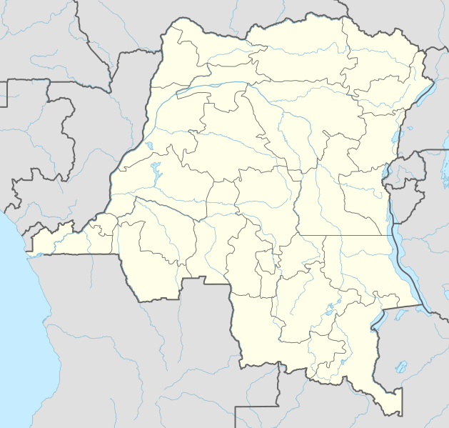
Fitxer:Democratic Republic of the Congo adm location map.svg

Fitxer original (fitxer SVG, nominalment 1.240 × 1.181 píxels, mida del fitxer: 732 Ko)
| Aquest fitxer i la informació mostrada a continuació provenen del dipòsit multimèdia lliure Wikimedia Commons. |
Resum
| Descripció |
Deutsch: Positionskarte der Demokratischen Republik Kongo
English: Location map of the Democratic Republic of the Congo
|
||||||||||||
| Data | |||||||||||||
| Font |
Own work using:
|
||||||||||||
| Autor | NordNordWest | ||||||||||||

|
This map has been made or improved in the German Kartenwerkstatt (Map Lab). You can propose maps to improve as well.
|
Llicència
Usage of this file with:

explanatory notes: Legally binding is only the full legalcode. For a free usage I recommend to respect the following licence conditions:
1. Provide my name as given above: NordNordWest,
2. a copy of, or the URI for, the applicable license: https://creativecommons.org/licenses/by-sa/3.0/de/legalcode,
3. the title of the work,
4. in the case of an adaptation, a credit identifying the use of the work in the adaptation.
This license and the rights granted hereunder will terminate automatically upon any breach by you of the terms of this license. Any of the above conditions can be waived if you get permission from the copyright holder. If you have questions or wish differing conditions, please contact me through nnwest or my discussion page ![]() t-online.de
t-online.de
- Sou lliure de:
- compartir – copiar, distribuir i comunicar públicament l'obra
- adaptar – fer-ne obres derivades
- Amb les condicions següents:
- reconeixement – Heu de donar la informació adequada sobre l'autor, proporcionar un enllaç a la llicència i indicar si s'han realitzat canvis. Podeu fer-ho amb qualsevol mitjà raonable, però de cap manera no suggereixi que l'autor us dóna suport o aprova l'ús que en feu.
- compartir igual – Si modifiqueu, transformeu, o generareu amb el material, haureu de distribuir les vostres contribucions sota una llicència similar o una de compatible com l'original

Historial del fitxer
Cliqueu una data/hora per veure el fitxer tal com era aleshores.
| Data/hora | Miniatura | Dimensions | Usuari/a | Comentari | |
|---|---|---|---|---|---|
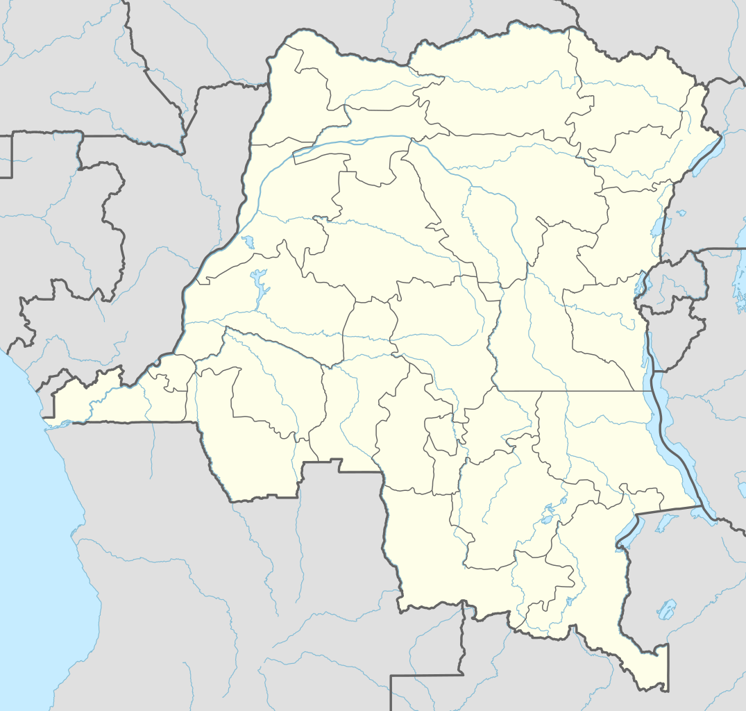
| actual | 03:51, 15 nov 2022 | | 1.240 × 1.181 (732 Ko) | SyntaxTerror | sorted in layers |
| 10:51, 16 feb 2016 |  | 1.240 × 1.181 (692 Ko) | NordNordWest | corr | |
| 20:25, 15 feb 2016 |  | 1.240 × 1.181 (691 Ko) | NordNordWest | == {{int:filedesc}} == {{Information |Description= {{de|1=Positionskarte der Demokratischen Republik Kongo}} {{en|1=Location map of the Democratic Republic of the Congo}} {{Location map series N |stretching=100 |top=6 |bottom=-14 |left=11 |right=32 }}... |
Ús del fitxer
Les 2 pàgines següents utilitzen aquest fitxer:
Ús global del fitxer
Utilització d'aquest fitxer en altres wikis:
- Utilització a ab.wikipedia.org
- Utilització a af.wikipedia.org
- Utilització a an.wikipedia.org
- Utilització a ast.wikipedia.org
- Utilització a azb.wikipedia.org
- Utilització a bn.wikipedia.org
Vegeu més usos globals d'aquest fitxer.