Fitxer:East Dunbartonshire council.PNG

Mida d'aquesta previsualització: 480 × 599 píxels. Altres resolucions: 192 × 240 píxels | 384 × 480 píxels | 615 × 768 píxels | 820 × 1.024 píxels | 1.641 × 2.048 píxels | 2.733 × 3.411 píxels.
Fitxer original (2.733 × 3.411 píxels, mida del fitxer: 207 Ko, tipus MIME: image/png)
| Aquest fitxer i la informació mostrada a continuació provenen del dipòsit multimèdia lliure Wikimedia Commons. |
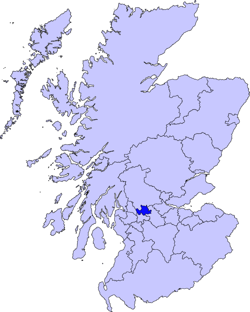
| Descripció | map of East Dunbartonshire | ||||||||
| Data | |||||||||
| Font |
Barryob, el titular dels drets d'autor d'aquest treball, el public sota la següent llicència:
|
||||||||
| Autor | User:Barryob |

Historial del fitxer
Cliqueu una data/hora per veure el fitxer tal com era aleshores.
| Data/hora | Miniatura | Dimensions | Usuari/a | Comentari | |
|---|---|---|---|---|---|
| actual | 07:06, 10 abr 2007 | | 2.733 × 3.411 (207 Ko) | Barryob | |
| 23:57, 8 abr 2007 |  | 2.733 × 3.411 (208 Ko) | Barryob | ||
| 03:20, 4 abr 2007 |  | 2.733 × 3.411 (208 Ko) | Barryob | {{Information |Description=map of East Dunbartonshire |Source={{GFDL-user|Barryob}} |Date=2006-04-04 |Author=User:Barryob |Permission= |other_versions= }} Category:Maps of unitary councils of Scotland |
Ús del fitxer
La pàgina següent utilitza aquest fitxer:
Ús global del fitxer
Utilització d'aquest fitxer en altres wikis:
- Utilització a ar.wikipedia.org
- Utilització a cy.wikipedia.org
- Utilització a de.wikipedia.org
- Utilització a en.wikipedia.org
- Utilització a eu.wikipedia.org
- Lankide:Euskaldunaa
- Kirkintilloch
- Bearsden
- Bishopbriggs
- Txantiloi:Ekialdeko Dunbartonshire
- Wikiproiektu:Irlanda, Gales eta Eskoziako udalerriak
- Lennoxtown
- Lenzie
- Milngavie
- Auchenreoch
- Baldernock
- Balmore
- Clachan of Campsie
- Haughhead
- Huntershill Village
- Milton of Campsie
- Torrance (Eakialdeko Dunbartonshire)
- Twechar
- Woodilee Village
- Bardowie
- Barnellan
- Birdston
- Auchinairn
- Cadder
- Waterside (Ekialdeko Dunbartonshire)
- Utilització a ga.wikipedia.org
- Utilització a nn.wikipedia.org
- Utilització a pt.wikipedia.org
- Utilització a www.wikidata.org
- Utilització a zh-min-nan.wikipedia.org
- Utilització a zh.wikipedia.org