Fitxer:East Timor relief location map.jpg
Mida d'aquesta previsualització: 800 × 489 píxels. Altres resolucions: 320 × 196 píxels | 640 × 391 píxels | 1.024 × 626 píxels | 1.280 × 783 píxels | 2.000 × 1.223 píxels.
Fitxer original (2.000 × 1.223 píxels, mida del fitxer: 657 Ko, tipus MIME: image/jpeg)
| Aquest fitxer i la informació mostrada a continuació provenen del dipòsit multimèdia lliure Wikimedia Commons. |
| Descripció |
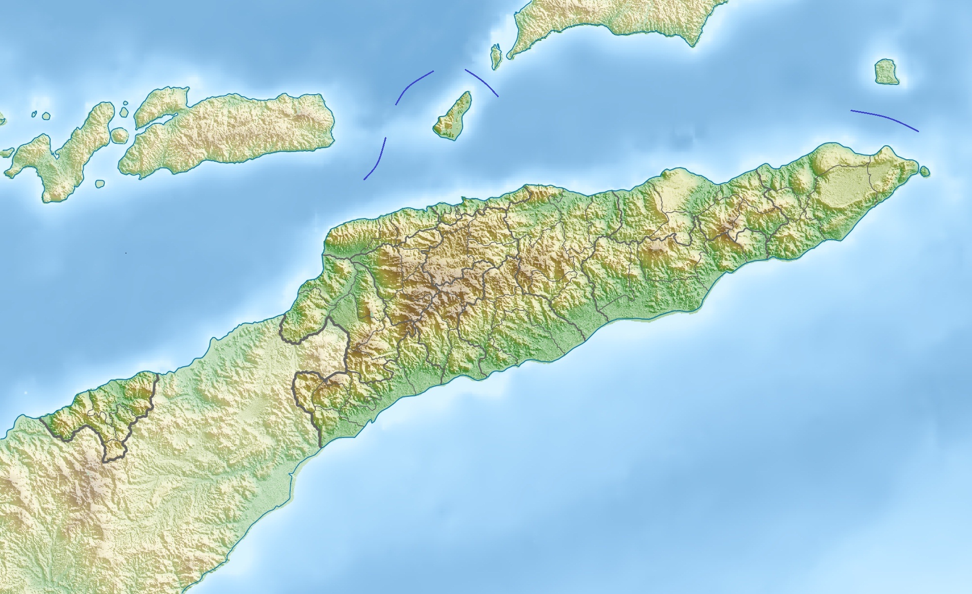
Deutsch: Physische Positionskarte von Osttimor, Grenzen von 2003–2015
Quadratische Plattkarte. Geographische Begrenzung der Karte:
English: Physical location map of East Timor
Equirectangular projection. Geographic limits of the map:
|
| Data | |
| Font | Treball propi, using map data from administrative map by NordNordWest. The relief was created from SRTM-3 relief data |
| Autor | Carport |
| Permís (Com reutilitzar aquest fitxer) |
Aquest fitxer està subjecte a la llicència de Creative Commons Reconeixement 3.0 No adaptada.
|
| Altres versions |
Derivative works of this file: Fuiloro Plateau.jpg
|

Historial del fitxer
Cliqueu una data/hora per veure el fitxer tal com era aleshores.
| Data/hora | Miniatura | Dimensions | Usuari/a | Comentari | |
|---|---|---|---|---|---|
| actual | 12:36, 17 nov 2012 | | 2.000 × 1.223 (657 Ko) | Jaybear | Borders between islands marked in reference to the map "File:Vychodni Timor.png"; |
| 11:26, 28 març 2010 |  | 2.000 × 1.223 (748 Ko) | Carport | {{Information |Description={{de|Physische Positionskarte von {{w|Osttimor|3=de}}}} Quadratische Plattkarte. Geographische Begrenzung der Karte: * N: 7.8° S * S: 10.0° S * W: 123.9° O * O: 127.5° O {{en|Physical location map of {{w|East Timor}}}} Equir |
Ús del fitxer
La pàgina següent utilitza aquest fitxer:
Ús global del fitxer
Utilització d'aquest fitxer en altres wikis:
- Utilització a ar.wikipedia.org
- Utilització a ast.wikipedia.org
- Utilització a az.wikipedia.org
- Utilització a ba.wikipedia.org
- Utilització a bcl.wikipedia.org
- Utilització a be.wikipedia.org
- Utilització a bg.wikipedia.org
- Utilització a bn.wikipedia.org
- Utilització a bs.wikipedia.org
- Utilització a ceb.wikipedia.org
- Utilització a ce.wikipedia.org
- Utilització a ckb.wikipedia.org
- Utilització a cs.wikipedia.org
- Utilització a da.wikipedia.org
- Utilització a de.wikipedia.org
- Osttimor
- Jaco (Osttimor)
- Liste der Städte in Osttimor
- Geschichte Osttimors
- Tatamailau
- Matebian
- Benutzer:J. Patrick Fischer/Nützliches
- Cablac
- Vorlage Diskussion:Infobox Berg/Archiv/1
- Vorlage:Positionskarte Osttimor
- Kisar (Indonesien)
- Ira Lalaro
- Maubarasee
- Tasitolu
- Monte Mundo Perdido
- Leolaco
- Wikipedia:Kartenwerkstatt/Positionskarten/Asien
- Curi (Berg)
- Paitchau
- Benutzer:Carport/Galerie
- Legumau
- Straße von Ombai
- Straße von Wetar
- Liran
Vegeu més usos globals d'aquest fitxer.