Fitxer:Europe laea location map.svg

Mida d'aquesta previsualització PNG del fitxer SVG: 701 × 599 píxels. Altres resolucions: 281 × 240 píxels | 561 × 480 píxels | 898 × 768 píxels | 1.198 × 1.024 píxels | 2.395 × 2.048 píxels | 1.401 × 1.198 píxels.
Fitxer original (fitxer SVG, nominalment 1.401 × 1.198 píxels, mida del fitxer: 2,21 Mo)
| Aquest fitxer i la informació mostrada a continuació provenen del dipòsit multimèdia lliure Wikimedia Commons. |
Resum
| Descripció |
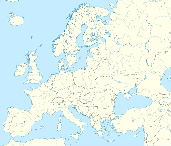
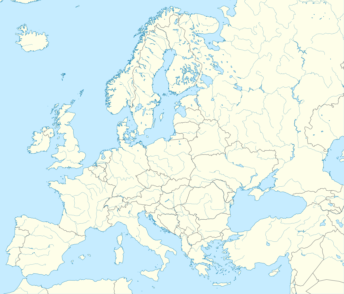
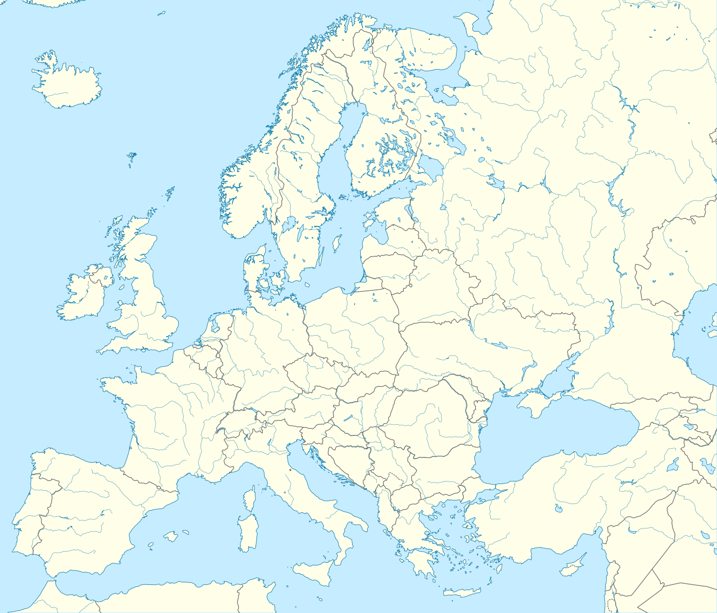
Deutsch: Positionskarte Europa; Politisch mit Staatsgrenzen, Inlandgewässer; Flächentreue Azimutalprojektion
English: Location map Europe; Political with state boundaries, inland water; Lambert azimuthal equal-area projection
Français : Carte de localisation Europe; Politique avec frontières d'Etats, mers intérieures; projection de Lambert azimuthale
Русский: Политическая карта Европы с границами государств и внутренними водами по состоянию на 2010 год (равновеликая азимутальная проекция Ламберта)
|
||
| Data | |||
| Font |
Treball propi
|
||
| Autor | Alexrk2 | ||
| Altres versions |
Derivative works of this file:
[]
|
||
| SVG genesis | Aquesta imatge vectorial ha estat creada amb Inkscape, or with something else.
|


.svg)


Llicència
Jo, el titular dels drets d'autor d'aquest treball, el public sota la següent llicència:
Aquest fitxer està subjecte a la llicència de Creative Commons Reconeixement i Compartir Igual 3.0 No adaptada.
- Sou lliure de:
- compartir – copiar, distribuir i comunicar públicament l'obra
- adaptar – fer-ne obres derivades
- Amb les condicions següents:
- reconeixement – Heu de donar la informació adequada sobre l'autor, proporcionar un enllaç a la llicència i indicar si s'han realitzat canvis. Podeu fer-ho amb qualsevol mitjà raonable, però de cap manera no suggereixi que l'autor us dóna suport o aprova l'ús que en feu.
- compartir igual – Si modifiqueu, transformeu, o generareu amb el material, haureu de distribuir les vostres contribucions sota una llicència similar o una de compatible com l'original
Historial del fitxer
Cliqueu una data/hora per veure el fitxer tal com era aleshores.
| Data/hora | Miniatura | Dimensions | Usuari/a | Comentari | |
|---|---|---|---|---|---|
| actual | 00:57, 21 ago 2012 | | 1.401 × 1.198 (2,21 Mo) | McZusatz | Reverted to version as of 19:40, 10 March 2010 (...thumb fixed?) |
| 00:56, 21 ago 2012 |  | 1.401 × 1.198 (1,45 Mo) | McZusatz | Reverted to version as of 18:44, 10 March 2010 (fixing thumb...) | |
| 21:40, 10 març 2010 |  | 1.401 × 1.198 (2,21 Mo) | Alexrk2 | +San Marino, enh. coastline & countries | |
| 20:44, 10 març 2010 |  | 1.401 × 1.198 (1,45 Mo) | Alexrk2 | == Summary == {{Information |Description= {{de|Positionskarte Europa; Politisch mit Staatsgrenzen, Inlandgewässer; Flächentreue Azimutalprojektion}} {{en|Location map Europe; Political with state boundaries, inland water; L |
Ús del fitxer
No hi ha pàgines que utilitzin aquest fitxer.
Ús global del fitxer
Utilització d'aquest fitxer en altres wikis:
- Utilització a als.wikipedia.org
- Utilització a an.wikipedia.org
- Utilització a av.wikipedia.org
- Utilització a az.wikipedia.org
- Dunay
- Reyn
- UEFA Çempionlar Liqası 1994/1995
- UEFA Çempionlar Liqası 2007/2008
- Şablon:Yer xəritəsi Avropa
- Aqriate
- Akkona (səhra)
- Bardenas-Reales
- Pişinas
- Tabernas (səhra)
- Aleşkov qumları
- Mançester Arenada terror (2017)
- Avropa Gənclər Olimpiya Festivalı
- UEFA Çempionlar Liqası 2017/2018
- Yan çayı
- UEFA Çempionlar Liqası 2018/2019
- Moneqros səhrası
- UEFA Çempionlar Liqası 2019/2020
- UEFA Çempionlar Liqası 2020/2021
- UEFA Çempionlar Liqası 2021/2022
- Utilització a ba.wikipedia.org
Vegeu més usos globals d'aquest fitxer.