Fitxer:France map Lambert-93 with regions and departments polygons-blank.svg

Mida d'aquesta previsualització PNG del fitxer SVG: 632 × 600 píxels. Altres resolucions: 253 × 240 píxels | 506 × 480 píxels | 809 × 768 píxels | 1.079 × 1.024 píxels | 2.158 × 2.048 píxels | 2.000 × 1.898 píxels.
Fitxer original (fitxer SVG, nominalment 2.000 × 1.898 píxels, mida del fitxer: 1,57 Mo)
| Aquest fitxer i la informació mostrada a continuació provenen del dipòsit multimèdia lliure Wikimedia Commons. |
Resum
| Posició de la càmera | | Aquesta i altres imatges properes a: OpenStreetMap |
|---|
| Descripció |
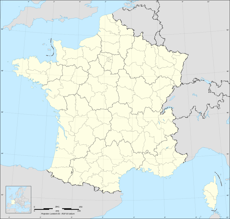
English: Blank map of metropolitan France in the official Lambert-93 projection, with regions and departments as independent polygons. Instructions of use:
Français : Carte vierge de la France métropolitaine suivant la projection officielle Lambert-93, avec régions et départements en tant que polygones indépendants. Instructions d'utilisation :
Lambert-93 projection ; RGF-93 datum |
||
| Data | |||
| Font |
Own work, derivate from France map Lambert-93 with regions and departments-blank.svg created by myself
|
||
| Autor | Eric Gaba (Sting - fr:Sting) | ||
| Permís (Com reutilitzar aquest fitxer) |
|
||
| Altres versions |
Derivative works of this file:
[]
Same map but with topography and bathymetry:
|
||
| SVG genesis | Aquesta imatge vectorial ha estat creada amb Inkscape, or with something else. |


Llicència
Jo, el titular dels drets d'autor d'aquest treball, el public sota les següents llicències:

|
S'autoritza la còpia, la distribució i la modificació d'aquest document sota els termes de la llicència de documentació lliure GNU versió 1.2 o qualsevol altra versió posterior que publiqui la Free Software Foundation; sense seccions invariants, ni textos de portada, ni textos de contraportada. S'inclou una còpia d'aquesta llicència en la secció titulada GNU Free Documentation License. |
This file is licensed under the Creative Commons Attribution-Share Alike Attribution-Share Alike 4.0 International, 3.0 Unported, 2.5 Generic, 2.0 Generic and 1.0 Generic license.
- Sou lliure de:
- compartir – copiar, distribuir i comunicar públicament l'obra
- adaptar – fer-ne obres derivades
- Amb les condicions següents:
- reconeixement – Heu de donar la informació adequada sobre l'autor, proporcionar un enllaç a la llicència i indicar si s'han realitzat canvis. Podeu fer-ho amb qualsevol mitjà raonable, però de cap manera no suggereixi que l'autor us dóna suport o aprova l'ús que en feu.
- compartir igual – Si modifiqueu, transformeu, o generareu amb el material, haureu de distribuir les vostres contribucions sota una llicència similar o una de compatible com l'original
Podeu seleccionar la llicència que vulgueu.
Historial del fitxer
Cliqueu una data/hora per veure el fitxer tal com era aleshores.
| Data/hora | Miniatura | Dimensions | Usuari/a | Comentari | |
|---|---|---|---|---|---|
| actual | 13:39, 7 maig 2024 | | 2.000 × 1.898 (1,57 Mo) | Jack ma | Updated regions limits of 2016 |
| 17:18, 19 oct 2017 |  | 2.000 × 1.898 (1,78 Mo) | Sting | No borders over the Lake of Constance | |
| 20:58, 3 feb 2009 |  | 2.000 × 1.898 (1,79 Mo) | Sting | == Summary == {{Location|46|15|00|N|02|06|00|E|scale:5000000}} <br/> {{Information |Description={{en|Blank map of France in the official Lambert-93 projection, with regions and departments as independent polygons.<br/> '''''Instructions of |
Ús del fitxer
No hi ha pàgines que utilitzin aquest fitxer.
Ús global del fitxer
Utilització d'aquest fitxer en altres wikis: