Fitxer:Hjortoe.jpg
Fitxer original (842 × 521 píxels, mida del fitxer: 494 Ko, tipus MIME: image/jpeg)
| Aquest fitxer i la informació mostrada a continuació provenen del dipòsit multimèdia lliure Wikimedia Commons. |
| Descripció |
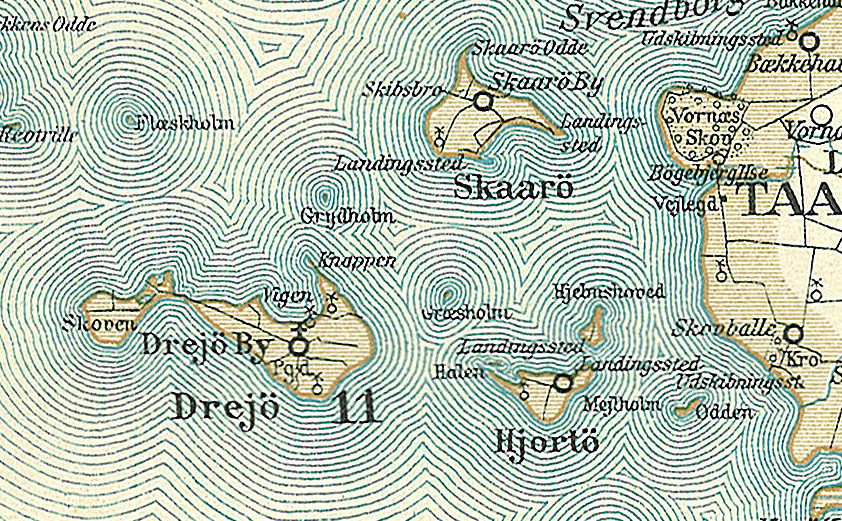
Dansk: Kort over øerne Drejø, Hjortø, Skarø, Græsholm, Odden og Mejlholm i den sydlige del af Svendborg Amt
English: Map of the southern part of Svendborg County in Denmark - The islands: Drejø, Hjortø, Skarø, Græsholm, Odden and Mejlholm. |
||||
| Data | cap a 1900 | ||||
| Font | Frems Amtskort over Danmark | ||||
| Autor | Fotolitograferede i Generalstabens Topografiske Afdeling | ||||
| Permís (Com reutilitzar aquest fitxer) |
|
||||
| Altres versions | Derivative works of this file: Lindelse Nor.jpg da:Svendborg Amt | ||||

| Això és una imatge retocada, cosa que vol dir que ha estat alterada digitalment de la seva versió original. Modificacions: Drejø,Hjortø, Skarø, Græsholm, Odden og Mejlholm. L'original es pot veure a: Svendborg Amt.jpg:
|
| Anotacions | Aquesta imatge té anotacions: Vegeu-les a Commons |
Historial del fitxer
Cliqueu una data/hora per veure el fitxer tal com era aleshores.
| Data/hora | Miniatura | Dimensions | Usuari/a | Comentari | |
|---|---|---|---|---|---|
| actual | 15:37, 26 ago 2009 | | 842 × 521 (494 Ko) | Cropbot | {{Information |Description=da:Kort over den sydlige del af Svendborg Amt<br/>en:Map of the southern part of Svendborg County in Denmark |Source=''Frems Amtskort over Danmark'' |Date=ca. 1900 |Author= Fotolitograferede i Generalstabens Topografiske Afdelin |
Ús del fitxer
La pàgina següent utilitza aquest fitxer:
Ús global del fitxer
Utilització d'aquest fitxer en altres wikis:
- Utilització a ceb.wikipedia.org
- Utilització a da.wikipedia.org
- Utilització a de.wikipedia.org
- Utilització a en.wikipedia.org
- Utilització a es.wikipedia.org
- Utilització a no.wikipedia.org
- Utilització a pl.wikipedia.org
- Utilització a pt.wikipedia.org
- Utilització a www.wikidata.org