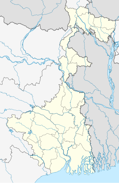
Fitxer:India West Bengal location map.svg

Mida d'aquesta previsualització PNG del fitxer SVG: 393 × 600 píxels. Altres resolucions: 157 × 240 píxels | 314 × 480 píxels | 503 × 768 píxels | 671 × 1.024 píxels | 1.342 × 2.048 píxels | 974 × 1.486 píxels.
Fitxer original (fitxer SVG, nominalment 974 × 1.486 píxels, mida del fitxer: 633 Ko)
Historial del fitxer
Cliqueu una data/hora per veure el fitxer tal com era aleshores.
| Data/hora | Miniatura | Dimensions | Usuari/a | Comentari | |
|---|---|---|---|---|---|
| actual | 05:47, 13 maig 2022 |  | 974 × 1.486 (633 Ko) | C1MM | Corrected Bihar/Jharkhand border |
| 06:32, 5 abr 2021 |  | 1.039 × 1.585 (726 Ko) | C1MM | Corrected rivers and coastline | |
| 09:51, 11 març 2021 |  | 1.039 × 1.585 (360 Ko) | Sbb1413 | Updated to include newer districts. | |
| 21:52, 1 abr 2010 |  | 1.039 × 1.585 (332 Ko) | NordNordWest | =={{int:filedesc}}== {{Information |Description= {{de|Positionskarte von Westbengalen, Indien}} Quadratische Plattkarte, N-S-Streckung 110 %. Geographische Begrenzung der Karte: * N: 27.4° N * S: 21.3° N * W: 85.6° O |
Ús del fitxer
No hi ha pàgines que utilitzin aquest fitxer.
Ús global del fitxer
Utilització d'aquest fitxer en altres wikis:
- Utilització a ceb.wikipedia.org
- Utilització a de.wikipedia.org
- Utilització a de.wikivoyage.org
- Utilització a en.wikipedia.org
- Kolkata
- Kalimpong
- Serampore College
- Shantiniketan
- Howrah
- Netaji Subhas Chandra Bose International Airport
- Asansol
- Murshidabad
- Jadavpur
- Mahananda Wildlife Sanctuary
- Kharagpur
- Siliguri
- Narendrapur
- Shibpur
- Teesta Bazaar
- Lava, West Bengal
- Barasat
- Chandannagar
- Bardhaman
- Bagdogra Airport
- Bagdogra
- New Jalpaiguri Junction railway station
- Barrackpore
- Tamluk
- Garbeta
- Durgapur
- Serampore
- Haldia
- Midnapore
- Belur, West Bengal
- Jaldapara National Park
- Mayapur
- Bhatpara
- Adra, Purulia
- Jalpaiguri
- Naxalbari
- Dakshineswar
- Hugli-Chuchura
- Palashi
- Alipurduar
- Purulia
- Halisahar
- Batanagar
- Panihati
- Khardaha
- Balurghat
Vegeu més usos globals d'aquest fitxer.


