Fitxer:Municipalities North Holland numbers.svg

Mida d'aquesta previsualització PNG del fitxer SVG: 315 × 599 píxels. Altres resolucions: 126 × 240 píxels | 252 × 480 píxels | 404 × 768 píxels | 538 × 1.024 píxels | 1.077 × 2.048 píxels | 363 × 690 píxels.
Fitxer original (fitxer SVG, nominalment 363 × 690 píxels, mida del fitxer: 125 Ko)
| Aquest fitxer i la informació mostrada a continuació provenen del dipòsit multimèdia lliure Wikimedia Commons. |

|
Resum
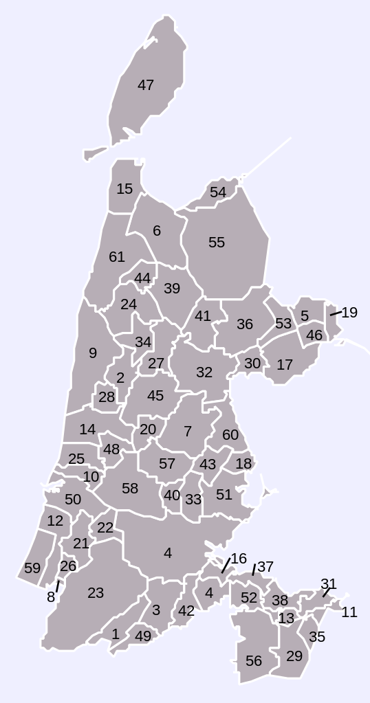
| Descripció | Map of municipalities in province of North Holland (NL), numbered |
| Data | |
| Font | Own work, based on freely available GIS data |
| Autor | User:Mtcv |
| Permís (Com reutilitzar aquest fitxer) |
Data: attribution required; my work: PD |
Llicència

|
El titular dels drets d'autor d'aquest arxiu, Centraal Bureau voor de Statistiek, permet que qualsevol pugui usar-lo per a qualsevol propòsit, sempre que el titular dels drets d'autor sigui reconegut correctament. La redistribució, les obres derivades, l'ús comercial, i qualsevol altre ús està permès. |
Reconeixement:
|
| Anotacions | Aquesta imatge té anotacions: Vegeu-les a Commons |
Historial del fitxer
Cliqueu una data/hora per veure el fitxer tal com era aleshores.
| Data/hora | Miniatura | Dimensions | Usuari/a | Comentari | |
|---|---|---|---|---|---|
| actual | 11:27, 8 abr 2008 | | 363 × 690 (125 Ko) | Finavon | border removed |
| 15:09, 2 gen 2007 |  | 363 × 690 (125 Ko) | Mtcv | new version, 2007 | |
| 13:46, 2 oct 2006 |  | 121 × 230 (131 Ko) | Mtcv | {{Information| |Description=Map of municipalities in province of North Holland (NL), numbered |Source=Own work, based on freely available GIS data |Date=2006-10-02 |Author=User:Mtcv |Permission=Data: attribution required; my work: PD }} |
Ús del fitxer
La pàgina següent utilitza aquest fitxer:
Ús global del fitxer
Utilització d'aquest fitxer en altres wikis:
- Utilització a es.wikipedia.org
- Utilització a fr.wikipedia.org
- Utilització a nl.wikipedia.org