Fitxer:Old Georgia State Capitol.jpg

Mida d'aquesta previsualització: 800 × 543 píxels. Altres resolucions: 320 × 217 píxels | 640 × 435 píxels | 1.024 × 696 píxels | 1.280 × 870 píxels | 2.560 × 1.739 píxels | 4.697 × 3.191 píxels.
Fitxer original (4.697 × 3.191 píxels, mida del fitxer: 2 Mo, tipus MIME: image/jpeg)
| Aquest fitxer i la informació mostrada a continuació provenen del dipòsit multimèdia lliure Wikimedia Commons. |
| Posició de la càmera | | Aquesta i altres imatges properes a: OpenStreetMap |
|---|
| Descripció |
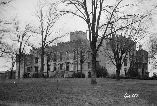
English: Old State Capitol, Milledgeville, Baldwin County, GA - General view. |
|||||
| Data | ||||||
| Font | Library of Congress, Prints and Photographs Division: Historic American Buildings Survey, HABS: GA,5-MILG,6-2 | |||||
| Autor | L. D. Andrew, photographer | |||||
| Permís (Com reutilitzar aquest fitxer) |
|


|
This image is available from the United States Library of Congress's Prints and Photographs division
under the digital ID hhh.ga0306. This tag does not indicate the copyright status of the attached work. A normal copyright tag is still required. See Commons:Licensing.
|
Historial del fitxer
Cliqueu una data/hora per veure el fitxer tal com era aleshores.
| Data/hora | Miniatura | Dimensions | Usuari/a | Comentari | |
|---|---|---|---|---|---|
| actual | 17:00, 5 abr 2009 | | 4.697 × 3.191 (2 Mo) | Cropbot | upload cropped version, operated by User:Finavon. Summary: border cropped |
| 04:31, 16 abr 2007 |  | 5.000 × 3.660 (2,19 Mo) | Dual Freq | {{Information |Description=Old State Capitol, Milledgeville, Baldwin County, GA. (2. Historic American Buildings Survey L. D. Andrew, Photographer Jan 3, 1937 GENERAL VIEW HABS GA,5-MILG,6-2) {{coor dms|33|04|43|N|083|13|29|W|type:landmark}} |Source=[http |
Ús del fitxer
No hi ha pàgines que utilitzin aquest fitxer.
Ús global del fitxer
Utilització d'aquest fitxer en altres wikis:
- Utilització a ceb.wikipedia.org
- Utilització a de.wikipedia.org
- Utilització a en.wikipedia.org
- Utilització a es.wikipedia.org
- Utilització a fa.wikipedia.org
- Utilització a la.wikipedia.org
- Utilització a pt.wikipedia.org
- Utilització a sh.wikipedia.org
- Utilització a sr.wikipedia.org
- Utilització a uk.wikipedia.org
- Utilització a ur.wikipedia.org
- Utilització a zh-min-nan.wikipedia.org
- Utilització a zh.wikipedia.org