Fitxer:Papua New Guinea BMNG.png

Mida d'aquesta previsualització: 800 × 570 píxels. Altres resolucions: 320 × 228 píxels | 640 × 456 píxels | 1.024 × 729 píxels | 1.280 × 912 píxels | 2.560 × 1.823 píxels.
Fitxer original (2.560 × 1.823 píxels, mida del fitxer: 2,47 Mo, tipus MIME: image/png)
| Aquest fitxer i la informació mostrada a continuació provenen del dipòsit multimèdia lliure Wikimedia Commons. |
| This image is in the public domain because it is a screenshot from NASA’s globe software World Wind using a public domain layer, such as Blue Marble, MODIS, Landsat, SRTM, USGS or GLOBE.
|
 |
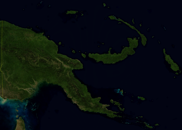
Satellite image of Papua New Guinea in October 2004.
Screenshot from NASA World Wind, Blue Marble Next-Generation layer.
Historial del fitxer
Cliqueu una data/hora per veure el fitxer tal com era aleshores.
| Data/hora | Miniatura | Dimensions | Usuari/a | Comentari | |
|---|---|---|---|---|---|
| actual | 13:38, 27 abr 2006 | | 2.560 × 1.823 (2,47 Mo) | Hautala | {{PD-WorldWind}} Satellite image of Papua New Guinea in October 2004. Screenshot from NASA World Wind, Blue Marble Next-Generation layer. Category:Satellite images of countries |
Ús del fitxer
La pàgina següent utilitza aquest fitxer:
Ús global del fitxer
Utilització d'aquest fitxer en altres wikis:
- Utilització a af.wikipedia.org
- Utilització a bg.wikipedia.org
- Utilització a ceb.wikipedia.org
- Utilització a cy.wikipedia.org
- Utilització a en.wikipedia.org
- Utilització a eo.wikipedia.org
- Utilització a es.wikipedia.org
- Utilització a hr.wikipedia.org
- Utilització a sh.wikipedia.org
- Utilització a uk.wikipedia.org
- Utilització a www.wikidata.org