Fitxer:Relief Map of Uzbekistan.png

Mida d'aquesta previsualització: 800 × 529 píxels. Altres resolucions: 320 × 211 píxels | 640 × 423 píxels | 1.024 × 677 píxels | 1.200 × 793 píxels.
Fitxer original (1.200 × 793 píxels, mida del fitxer: 1,42 Mo, tipus MIME: image/png)
| Aquest fitxer i la informació mostrada a continuació provenen del dipòsit multimèdia lliure Wikimedia Commons. |
Resum
| Descripció |
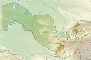
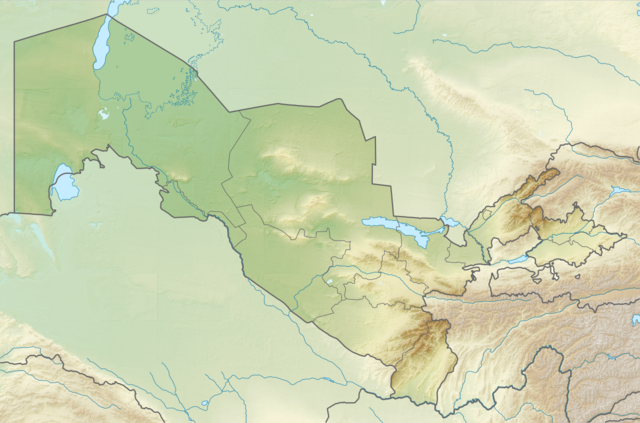
English: Relief map of Uzbekistan
Equirectangular projection, N/S stretching 130 %. Geographic limits of the map:
|
| Data | |
| Font | |
| Autor |
|
| Permís (Com reutilitzar aquest fitxer) |
Aquest fitxer està subjecte a la llicència de Creative Commons Reconeixement i Compartir Igual 3.0 No adaptada.
|
Historial del fitxer
Cliqueu una data/hora per veure el fitxer tal com era aleshores.
| Data/hora | Miniatura | Dimensions | Usuari/a | Comentari | |
|---|---|---|---|---|---|
| actual | 22:01, 26 ago 2010 | | 1.200 × 793 (1,42 Mo) | Виктор В | =={{int:filedesc}}== {{Information |Description={{en|Relief map of Uzbekistan}} Equirectangular projection, N/S stretching 130 %. Geographic limits of the map: * N: 45.9° N * S: 36.8° N * W: 55.6° E * E: 73.5° E |Source=*[[:File:Uzb |
Ús del fitxer
Les 3 pàgines següents utilitzen aquest fitxer:
Ús global del fitxer
Utilització d'aquest fitxer en altres wikis:
- Utilització a als.wikipedia.org
- Utilització a ar.wikipedia.org
- Utilització a ast.wikipedia.org
- Utilització a av.wikipedia.org
- Utilització a azb.wikipedia.org
- Utilització a az.wikipedia.org
- Utilització a ba.wikipedia.org
- Utilització a bcl.wikipedia.org
- Utilització a be.wikipedia.org
- Utilització a bg.wikipedia.org
Vegeu més usos globals d'aquest fitxer.