Fitxer:Satellite Image of Alcatraz.jpg

Mida d'aquesta previsualització: 800 × 408 píxels. Altres resolucions: 320 × 163 píxels | 640 × 326 píxels | 1.059 × 540 píxels.
Fitxer original (1.059 × 540 píxels, mida del fitxer: 142 Ko, tipus MIME: image/jpeg)
| Aquest fitxer i la informació mostrada a continuació provenen del dipòsit multimèdia lliure Wikimedia Commons. |
| Descripció |
Čeština: Satelitní fotografie Alcatrazu
Deutsch: Satellitenbild von Alcatraz
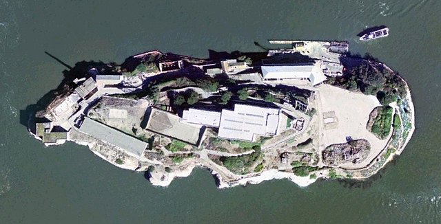
English: Satellite Image of Alcatraz
Español: Imagen de satélite de Alcatraz
Français : Photo satellite de Alcatraz |
|||
| Data | ||||
| Font | USGS Urban Area Ortho: 0.25 m - image created with NASA World Wind | |||
| Autor | United States Geological Survey | |||
| Permís (Com reutilitzar aquest fitxer) |
|

| Posició de l'objecte | | Aquesta i altres imatges properes a: OpenStreetMap |
|---|
Historial del fitxer
Cliqueu una data/hora per veure el fitxer tal com era aleshores.
| Data/hora | Miniatura | Dimensions | Usuari/a | Comentari | |
|---|---|---|---|---|---|
| actual | 23:22, 12 ago 2005 | | 1.059 × 540 (142 Ko) | BLueFiSH.as | *{{english}} Satellite Image of Alcatraz *{{french}} Photo satellite de Alcatraz *{{german}} Satellitenbild von Alcatraz *USGS Urban Area Ortho: 0.25 m - image created with NASA World Wind {{PD-USGov-USGS}} {{World Wind}} |
Ús del fitxer
La pàgina següent utilitza aquest fitxer:
Ús global del fitxer
Utilització d'aquest fitxer en altres wikis:
- Utilització a de.wikipedia.org
- Utilització a es.wikipedia.org
- Utilització a fr.wikipedia.org
- Utilització a fr.wiktionary.org
- Utilització a ja.wikipedia.org
- Utilització a pl.wikipedia.org
- Utilització a ro.wikipedia.org
- Utilització a zh.wikipedia.org