Fitxer:Stelprdb5209236.pdf

Mida d'aquesta previsualització JPG del fitxer PDF: 776 × 600 píxels. Altres resolucions: 311 × 240 píxels | 621 × 480 píxels | 994 × 768 píxels | 1.280 × 989 píxels | 1.650 × 1.275 píxels.
Fitxer original (1.650 × 1.275 píxels, mida del fitxer: 255 Ko, tipus MIME: application/pdf)
| Aquest fitxer i la informació mostrada a continuació provenen del dipòsit multimèdia lliure Wikimedia Commons. |
Resum
| Descripció |
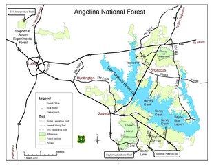
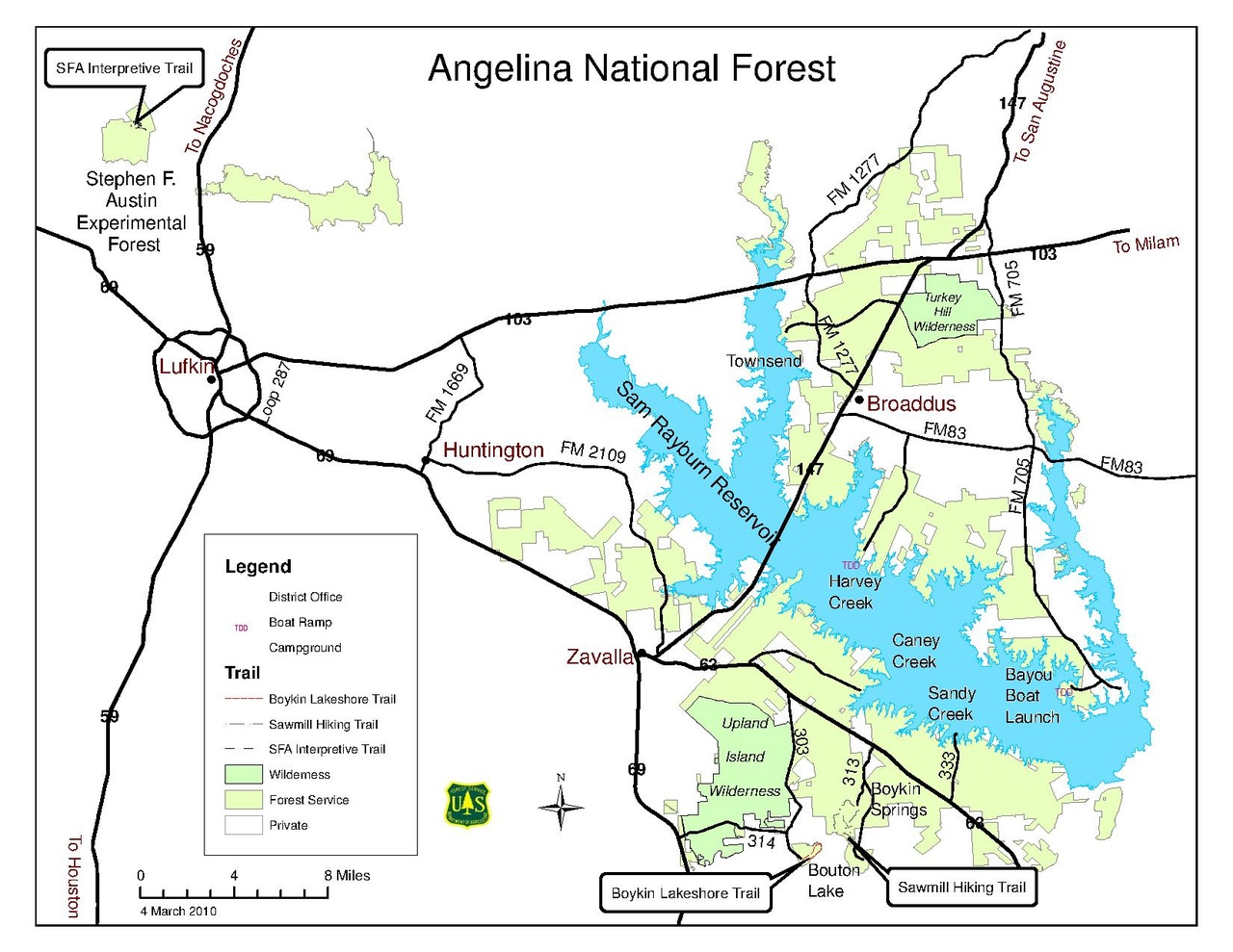
English: Map of the Angelina National Forest, including USFS-owned land, private land, wilderness areas, and the Stephen F. Austin Experimental Forest |
| Data | |
| Font | http://www.fs.usda.gov/Internet/FSE_DOCUMENTS/stelprdb5209236.pdf |
| Autor | US Forest Service |
Llicència
This image is a work of the Forest Service of the United States Department of Agriculture. As a work of the U.S. federal government, the image is in the public domain.
|
Historial del fitxer
Cliqueu una data/hora per veure el fitxer tal com era aleshores.
| Data/hora | Miniatura | Dimensions | Usuari/a | Comentari | |
|---|---|---|---|---|---|
| actual | 06:41, 7 maig 2016 |  | 1.650 × 1.275 (255 Ko) | RangerRichard | User created page with UploadWizard |
Ús del fitxer
La pàgina següent utilitza aquest fitxer:
Ús global del fitxer
Utilització d'aquest fitxer en altres wikis:
- Utilització a de.wikipedia.org