Fitxer:Topographic Map of the UK - Blank.png
Mida d'aquesta previsualització: 412 × 599 píxels. Altres resolucions: 165 × 240 píxels | 330 × 480 píxels | 528 × 768 píxels | 704 × 1.024 píxels | 1.750 × 2.545 píxels.
Fitxer original (1.750 × 2.545 píxels, mida del fitxer: 3,63 Mo, tipus MIME: image/png)
| Aquest fitxer i la informació mostrada a continuació provenen del dipòsit multimèdia lliure Wikimedia Commons. |
Resum
| Descripció |
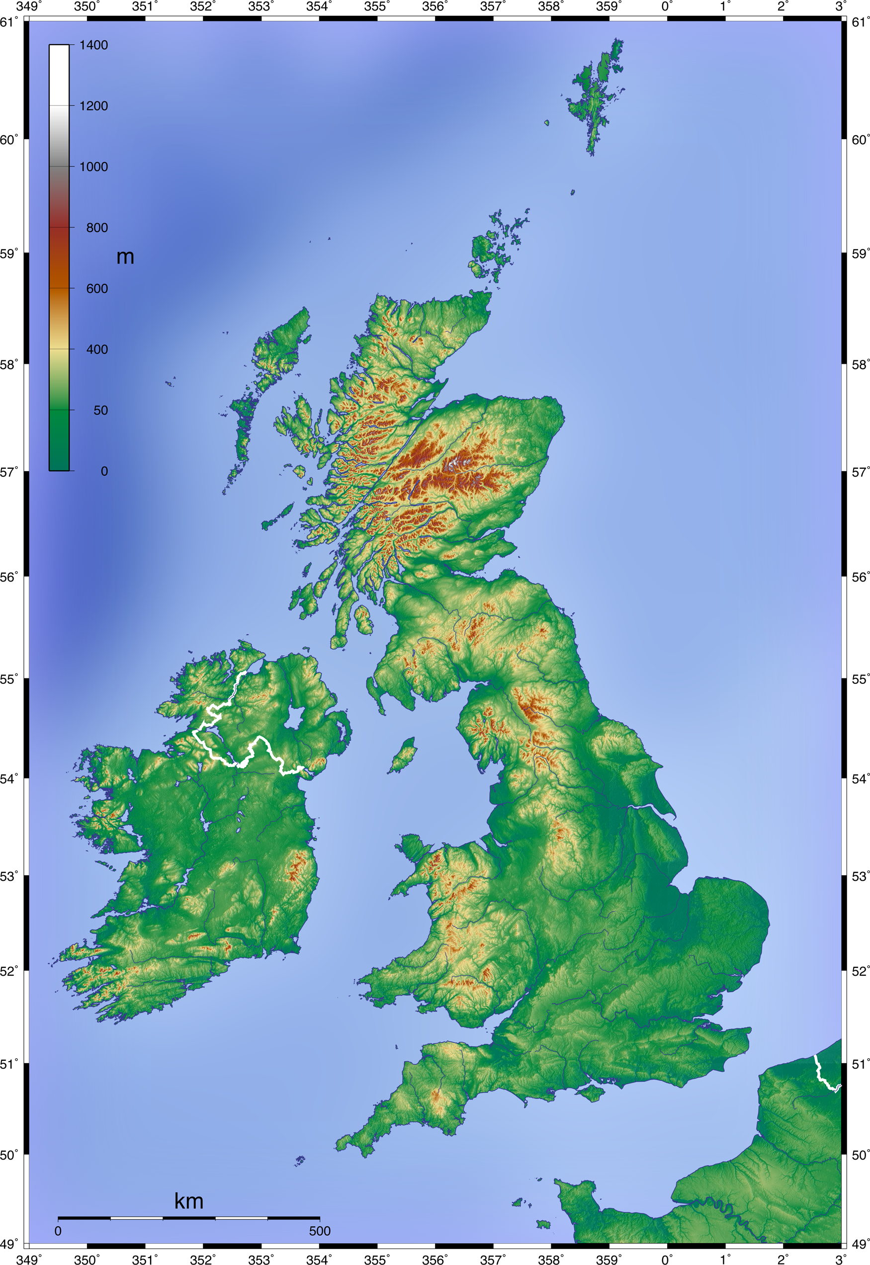
English: Topographic Map of the UK; Mercator projection, 1.750 x 2.545 px (blank w/out dots)
Deutsch: Topographische Karte Großbritanniens; Mercator-Projektion, 1.750 x 2.545 px (unbeschriftet, ohne Punkte) |
| Data | 11 de juny de 2008 (upload date) |
| Font | Own work by uploader, created with GMT and SRTM data |
| Autor | Equestenebrarum |
| Permís (Com reutilitzar aquest fitxer) |
Creative Commons Attribution 3.0 |
| Altres versions |
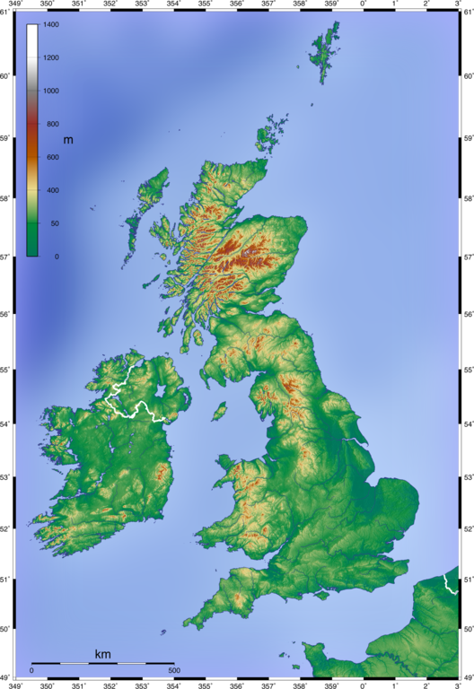
Derivative works of this file: Craven Pass through Pennine Mountains UK topographic map.gif
|


Llicència
Jo, el titular dels drets d'autor d'aquest treball, el public sota la següent llicència:
Aquest fitxer està subjecte a la llicència de Creative Commons Reconeixement 3.0 No adaptada.
- Sou lliure de:
- compartir – copiar, distribuir i comunicar públicament l'obra
- adaptar – fer-ne obres derivades
- Amb les condicions següents:
- reconeixement – Heu de donar la informació adequada sobre l'autor, proporcionar un enllaç a la llicència i indicar si s'han realitzat canvis. Podeu fer-ho amb qualsevol mitjà raonable, però de cap manera no suggereixi que l'autor us dóna suport o aprova l'ús que en feu.
Historial del fitxer
Cliqueu una data/hora per veure el fitxer tal com era aleshores.
| Data/hora | Miniatura | Dimensions | Usuari/a | Comentari | |
|---|---|---|---|---|---|
| actual | 15:07, 11 juny 2008 | | 1.750 × 2.545 (3,63 Mo) | Equestenebrarum | {{Information |Description={{en|1=Topographic Map of the UK; Mercator projection, 1.750 x 2.545 px (blank w/out dots)}} {{de|1=Topographische Karte Großbritanniens; Mercator-Projektion, 1.750 x 2.545 px (unbeschriftet, ohne Punkte)}} |Source=Own work by |
Ús del fitxer
No hi ha pàgines que utilitzin aquest fitxer.
Ús global del fitxer
Utilització d'aquest fitxer en altres wikis:
- Utilització a fr.wikipedia.org
- Utilització a pt.wikipedia.org