Fitxer:View across Cleeve Common - geograph.org.uk - 38060.jpg
No hi ha cap versió amb una resolució més gran.
View_across_Cleeve_Common_-_geograph.org.uk_-_38060.jpg (640 × 480 píxels, mida del fitxer: 99 Ko, tipus MIME: image/jpeg)
| Aquest fitxer i la informació mostrada a continuació provenen del dipòsit multimèdia lliure Wikimedia Commons. |
Resum
| Descripció |
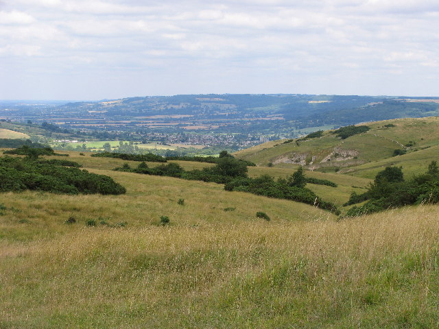
English: View across Cleeve Common. Cleeve Common is the high ground north and east of the "summits" of Cleeve Hill, falling away towards Winchcombe which can be seen in the distance. The whole area was quarried extensively in the past, and a disused quarry can be seen on the hillside in the middle right of the picture. |
| Data | |
| Font | From geograph.org.uk |
| Autor | Terry Jacombs |
| Reconeixement (required by the license) | Terry Jacombs / View across Cleeve Common / |
| Posició de la càmera | | Aquesta i altres imatges properes a: OpenStreetMap |
|---|
_heading:45.00&language=ca)
| Posició de l'objecte | | Aquesta i altres imatges properes a: OpenStreetMap |
|---|
_heading:45.00&language=ca)
Llicència

|
Aquesta imatge prové de la col·lecció del projecte Geograph British Isles. Vegeu la pàgina d'aquesta fotografia al lloc web Geograph per a més informació del fotògraf. El titular dels drets d'autor d'aquesta imatge és Terry Jacombs i autoritza utilitzar-la sota la llicència Reconeixement-CompartirIgual 2.0 de Creative Commons.
|
Aquest fitxer està publicat sota la llicència de Creative Commons Reconeixement i Compartir Igual 2.0 Genèrica.
Reconeixement: Terry Jacombs
- Sou lliure de:
- compartir – copiar, distribuir i comunicar públicament l'obra
- adaptar – fer-ne obres derivades
- Amb les condicions següents:
- reconeixement – Heu de donar la informació adequada sobre l'autor, proporcionar un enllaç a la llicència i indicar si s'han realitzat canvis. Podeu fer-ho amb qualsevol mitjà raonable, però de cap manera no suggereixi que l'autor us dóna suport o aprova l'ús que en feu.
- compartir igual – Si modifiqueu, transformeu, o generareu amb el material, haureu de distribuir les vostres contribucions sota una llicència similar o una de compatible com l'original
Historial del fitxer
Cliqueu una data/hora per veure el fitxer tal com era aleshores.
| Data/hora | Miniatura | Dimensions | Usuari/a | Comentari | |
|---|---|---|---|---|---|
| actual | 20:31, 30 gen 2010 | | 640 × 480 (99 Ko) | GeographBot | == {{int:filedesc}} == {{Information |description={{en|1=View across Cleeve Common. Cleeve Common is the high ground north and east of the "summits" of Cleeve Hill, falling away towards Winchcombe which can be seen in the distance. The whole area was quar |
Ús del fitxer
La pàgina següent utilitza aquest fitxer:
Ús global del fitxer
Utilització d'aquest fitxer en altres wikis:
- Utilització a en.wikipedia.org
- Utilització a he.wikipedia.org
- Utilització a www.wikidata.org