Fitxer:Carretera Central map (Cuba).png
Mida d'aquesta previsualització: 800 × 339 píxels. Altres resolucions: 320 × 136 píxels | 640 × 271 píxels | 1.200 × 509 píxels.
Fitxer original (1.200 × 509 píxels, mida del fitxer: 107 Ko, tipus MIME: image/png)
| Aquest fitxer i la informació mostrada a continuació provenen del dipòsit multimèdia lliure Wikimedia Commons. |
Resum
| Descripció | Note: A file on EcuRed was updated on 15 February 2013 to a new version, based on this file, updated on 31 January 2013. |
| Data | 28 de juny de 2006 (original upload date) |
| Font | No machine-readable source provided. Own work assumed (based on copyright claims). |
| Autor | No machine-readable author provided. Qyd assumed (based on copyright claims). |
| Altres versions |
|
.png)
.png)
.png)
.png)
.png?uselang=ca)
Llicència
| Jo, el titular del copyright d'aquesta obra, l'allibero al domini públic. Això s'aplica a tot el món. En alguns països això pot no ser legalment possible, en tal cas: Jo faig concessió a tothom del dret d'usar aquesta obra per a qualsevol propòsit, sense cap condició llevat d'aquelles requerides per la llei. |
Historial del fitxer
Cliqueu una data/hora per veure el fitxer tal com era aleshores.
| Data/hora | Miniatura | Dimensions | Usuari/a | Comentari | |
|---|---|---|---|---|---|
| actual | 18:38, 16 nov 2013 | | 1.200 × 509 (107 Ko) | DerBorg | little fix (accent to the "A" of Ciego de Ávila) |
| 21:49, 31 maig 2013 |  | 1.200 × 509 (107 Ko) | DerBorg | added Florida (the cuban town) | |
| 04:31, 4 feb 2013 |  | 1.200 × 509 (107 Ko) | DerBorg | little fix | |
| 02:28, 4 feb 2013 |  | 1.200 × 509 (107 Ko) | DerBorg | little fix (accent to the a of "Guantanamo") | |
| 05:12, 31 gen 2013 |  | 1.200 × 509 (107 Ko) | DerBorg | little fix | |
| 04:57, 31 gen 2013 |  | 1.200 × 509 (107 Ko) | DerBorg | Added some fixes to the map: added all the provincial capitals (included the new formed in 2011) crossed by CC, removed San Julian (it's a little village in Sandino municipality, in which starts the road), corrected the Havana-Santa Clara route (in the... | |
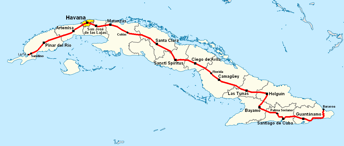
| 07:50, 28 juny 2006 | 1.068 × 409 (154 Ko) | Qyd | Map of Carretera Central in Cuba Category:Maps of Cuba |
Ús del fitxer
La pàgina següent utilitza aquest fitxer:
Ús global del fitxer
Utilització d'aquest fitxer en altres wikis:
- Utilització a de.wikipedia.org
- Utilització a en.wikipedia.org
- Utilització a eo.wikipedia.org
- Utilització a es.wikipedia.org
- Utilització a fr.wikipedia.org
- Utilització a it.wikipedia.org
- Utilització a ka.wikipedia.org
- Utilització a lt.wikipedia.org
- Utilització a nl.wikipedia.org
- Utilització a www.wikidata.org
.png)