Fitxer:Locatie Ionische Zee.PNG
No hi ha cap versió amb una resolució més gran.
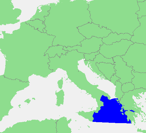
Locatie_Ionische_Zee.PNG (473 × 430 píxels, mida del fitxer: 17 Ko, tipus MIME: image/png)
| Aquest fitxer i la informació mostrada a continuació provenen del dipòsit multimèdia lliure Wikimedia Commons. |
| Descripció | In dutch: Locatie Ionische Zee.PNG | ||||
| Font | own work based on PD map | ||||
| Autor | edited by M.Minderhoud | ||||
| Permís (Com reutilitzar aquest fitxer) |
|
Historial del fitxer
Cliqueu una data/hora per veure el fitxer tal com era aleshores.
| Data/hora | Miniatura | Dimensions | Usuari/a | Comentari | |
|---|---|---|---|---|---|
| actual | 17:42, 28 juny 2012 | | 473 × 430 (17 Ko) | Ciaurlec | Corrected western and southern limits |
| 20:21, 12 set 2006 |  | 473 × 430 (16 Ko) | Michiel1972 | {{Information |Description=In dutch: {{subst:PAGENAME}} |Source= own work based on PD map |Date= |Author= edited by M.Minderhoud |Permission= {{PD-Demis}} |other_versions= }} category:Locator maps of seas |
Ús del fitxer
La pàgina següent utilitza aquest fitxer:
Ús global del fitxer
Utilització d'aquest fitxer en altres wikis:
- Utilització a an.wikipedia.org
- Utilització a avk.wikipedia.org
- Utilització a es.wikipedia.org
- Utilització a fr.wikipedia.org
- Utilització a fy.wikipedia.org
- Utilització a gl.wikipedia.org
- Utilització a gl.wiktionary.org
- Utilització a ia.wikipedia.org
- Utilització a incubator.wikimedia.org
- Utilització a ky.wikipedia.org
- Utilització a li.wikipedia.org
- Utilització a nds-nl.wikipedia.org
- Utilització a nl.wikipedia.org
- Utilització a pt.wikipedia.org
- Utilització a ru.wiktionary.org
- Utilització a sc.wikipedia.org
- Utilització a tl.wikipedia.org
- Utilització a vls.wikipedia.org
- Utilització a zh-yue.wikipedia.org